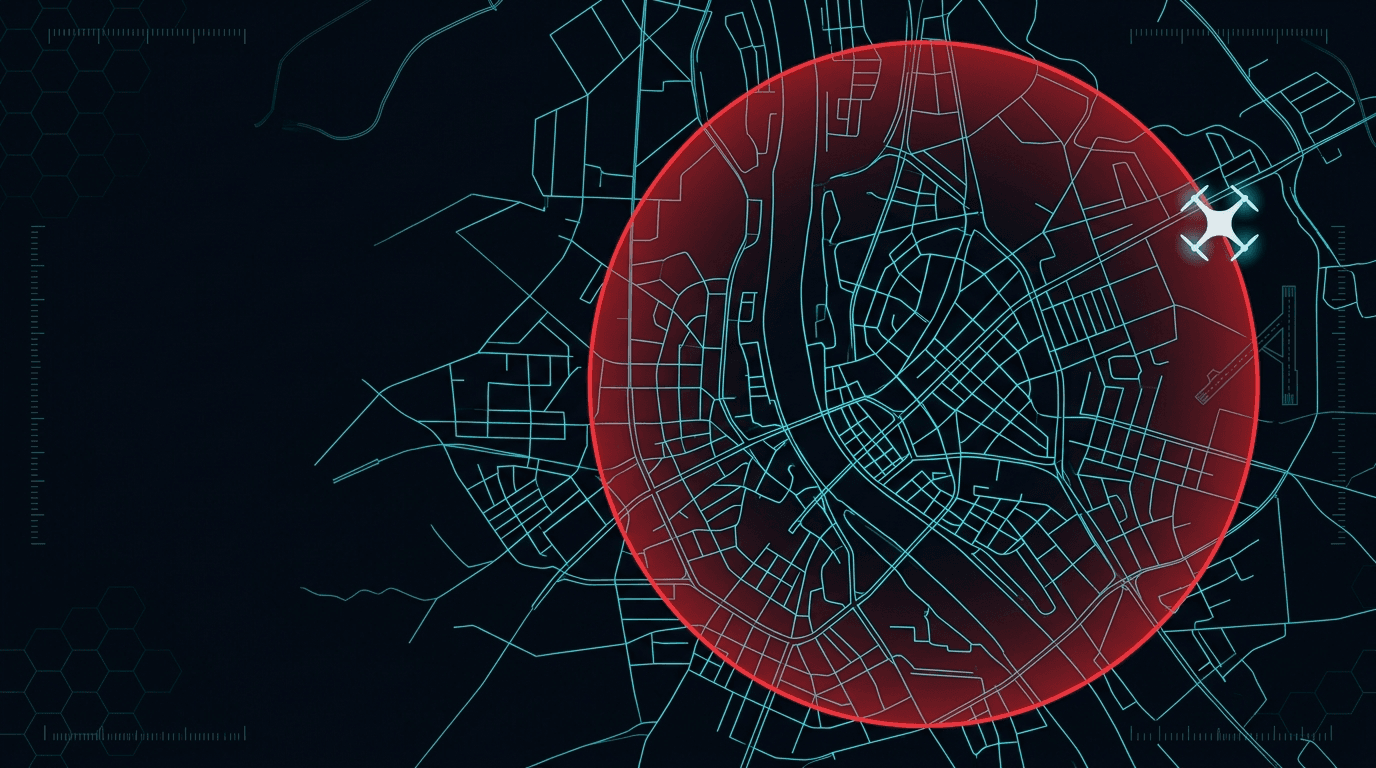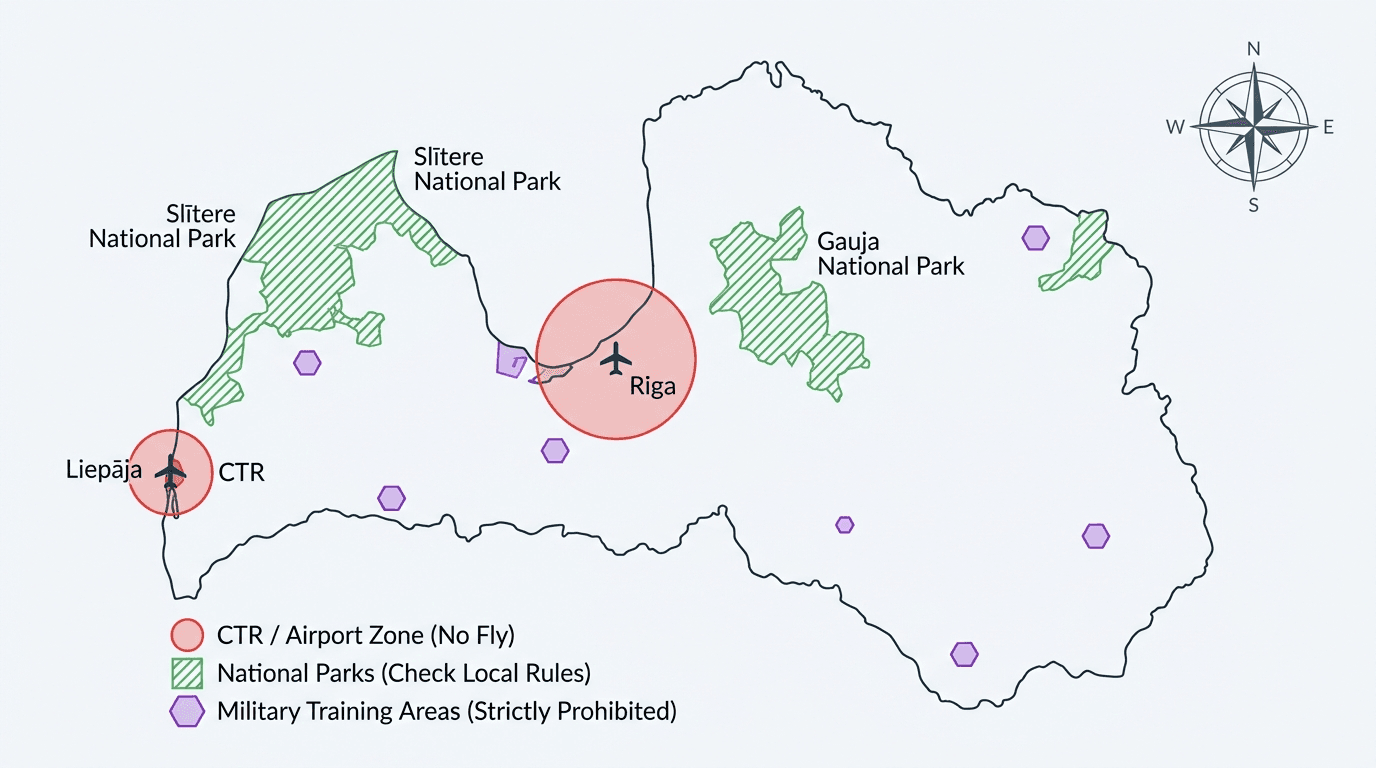
In Latvia, “Can I fly here?” is not something you answer from memory. The official answer is map-based and can change during the day. The first rule is simple: check the official source before every flight.
The official source
The Latvian CAA page on UAS geographical zones says the only official and legally binding source for airspace restrictions in Latvia is:
https://www.airspace.lv/drones/
The same CAA page also warns that a manufacturer's geo-awareness features can be incomplete or out of date. So an app on the controller is a handy extra, not the legal answer.
What kinds of zones exist
"UAS geographical zone" is not a polite way of saying "no drones here". The term comes from the EU framework and covers a range: a zone can inform you, ask you to coordinate, ban flights outright — or actually relax the usual rules. Reading every zone as a ban is the most common misunderstanding, and it makes pilots cancel legal flights while missing the real condition elsewhere.
Zones exist because the EU-wide baseline cannot handle local risk: safety near sensitive sites, privacy, and environmental concerns such as wildlife. Instead of tightening national rules everywhere, a zone targets one place for one reason.
| Zone type | What it means |
|---|---|
Informational (NO_RESTRICTION | INFORMATION) | extra awareness — higher air traffic, BVLOS limits — but no added restriction. The zone manager is a contact point |
Restrictive — authorisation (REQ_AUTHORISATION) | the manager receives and coordinates your request before take-off |
Restrictive — notification (CONDITIONAL | NOTIFICATION) | the manager receives a notice; information flow with less administrative load |
Restrictive — conditions (CONDITIONAL | INFORMATION) | extra technical, operational, or pilot-qualification conditions, which can be combined |
Prohibited (PROHIBITED | INFORMATION) | flights are banned with no coordination route, unless the zone's proposer defined explicit exemptions. An emergency may be considered case by case |
| Facilitating | the inverse — it can set aside some Open-category conditions where it explicitly grants relief |
If several zones overlap, all of their conditions apply at once; they stack rather than cancel each other. The single exception is a facilitating zone that explicitly states a departure from another zone's conditions. In practice, read the location by the strictest rule that applies there.
The useful question before a flight is therefore not "is this a no-fly zone?" but "what type of zone is this, and what does it ask of me?"
Approval does not cancel the basic rules
The CAA also stresses something many pilots get wrong: approval inside a geographical zone does not cancel the basic Open-category rules.
For example, zone approval does not automatically let you ignore:
- the 120 m height limit
- the VLOS requirement
- the other limits that still apply to your category and aircraft
Zone approval solves the zone-specific restriction. It does not wipe out the rest of the rules.
BGKIS requirement from 2025
The published CAA guidance says that from 2025-01-01, flights in UAS geographical zones must be registered in BGKIS before the flight or flight series, where that requirement applies.
So it's not just “look at the map and go”. In many places, the map check and the formal flight submission are part of the same legal routine.
Protected areas and local rules
Airspace is not the only layer. In protected nature areas, environmental rules can apply alongside the aviation rules. Before filming in national parks, reserves, wetlands, or other protected zones, check whether the site manager or the nature-protection authority needs an extra permit or sets local restrictions.
The safe approach is simple: if the place is environmentally sensitive, don't assume an aviation-only check is enough.
A better way to check before take-off
Before every flight:
- open
airspace.lv/drones - check which zone type applies at the exact location
- confirm whether BGKIS notification or authorisation is required
- then confirm the flight still fits your Open-category limits
The CAA specifically reminds pilots that airspace information can change several times a day. Yesterday's answer is not today's answer.
What not to do
Drop three habits:
- relying only on the drone maker's map
- assuming a zone approval lets you ignore the height or VLOS rules
- treating protected nature areas as a pure aviation question
That's how legal flights turn into avoidable violations.
Need the Open-category basics behind those limits? See our A1/A3 overview.