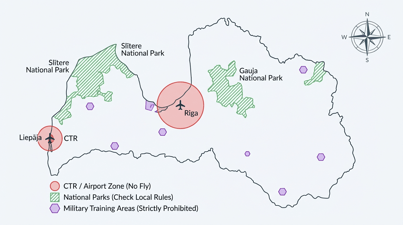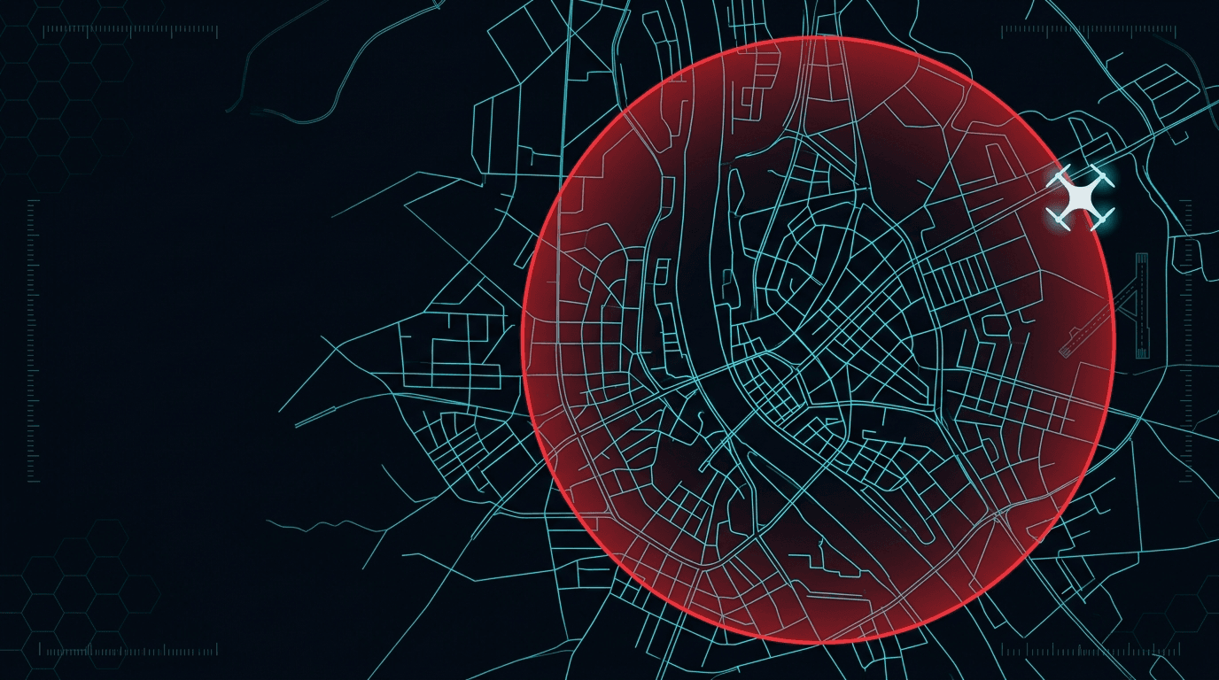
Riga is where most people want to put up a drone, and where "can I fly here?" is the hardest question. Two reasons: the international airport nearby, which puts much of the city's airspace under control, and the density of people. Here is how to check, and where you can actually fly.
First, the same official map
The rule that covers all of Latvia also applies in Riga: the only official and legally binding source is the https://www.airspace.lv/drones/ map. You can also open it on our map page. A drone app's built-in map does not replace the official one.
Why Riga is stricter
Because of Riga International Airport, a large part of the airspace over the city is controlled. In practice that means many spots in Riga fall inside restrictive or prohibited UAS geographical zones. Where exactly the boundaries run is shown only by the official map, so always check the specific spot on airspace.lv before take-off.
The zone types and restrictions are reviewed in no-fly zones, and the whole checking logic is gathered in the where you can fly in Latvia hub.
Distances bite harder in a city
The Open-category baseline is especially noticeable in a city. The height is up to 120 m, and the flight is always within visual line of sight (VLOS). The distance from people depends on the subcategory: A1 (under 250 g) never over assemblies of people. A2 no closer than 30 m horizontally. A3 no closer than 150 m from residential and commercial areas. In dense development, holding 150 m from buildings is nearly impossible, so people usually fly light drones in A1 in the city. If you are unsure of your category, use the category chooser.
Important: a drone under 250 g eases the distance rules but does not exempt you from zones. Checking the map stays mandatory.
The map changes during the day
The CAA reminds pilots that airspace information can change several times a day. In a city that is not a footnote: a temporary restriction over an event, a state visit or an emergency response appears exactly where you were planning to fly, and yesterday's screenshot is worthless.
Two habits follow. Check the map on the day, at the location — not the evening before, from the sofa. And when zones overlap, remember that all of their conditions apply at once: in Riga overlaps are the norm rather than the exception, so the strictest set is the one you are flying under.
The 1:1 habit is the useful city heuristic
The distance rules are written per subcategory, but there is a simpler guideline the CAA teaches in the A2 syllabus: the 1:1 principle — keep a horizontal distance from uninvolved people at least equal to your height. At 30 m up, stay at least 30 m away laterally.
It is not a substitute for the subcategory limits, and it does not open a zone that is closed. What it does is stop the most common city mistake: climbing to gain a better frame while drifting over a pavement, on the assumption that height is itself a form of separation.
Green on the map is not the whole answer
Riga has layers that airspace do not draw. Around the city there are protected nature areas where environmental rules apply next to the aviation ones, and a site manager or the nature-protection authority may require a separate permission. Before filming over a park, a wetland, or a reserve, treat "the map is clear" as the beginning of the check rather than the end of it.
The same goes for events. A gathering of people is a rule about the ground, not about the airspace: no Open-category subcategory lets you fly over an assembly of people, whatever the map shows for that point.
Coordinate the flight in advance
Since 2025-01-01, flights in UAS geographical zones must be filed in BGKIS before take-off, and some Riga zones additionally require coordination or notification. Coordination clears the specific zone restriction but does not waive the 120 m and VLOS.
A practical order for a Riga flight
- Open
airspace.lv/dronesand find your spot. - Check the zone type and whether BGKIS is needed.
- Make sure you keep the distances from people and buildings.
- Check there is no event or gathering nearby.
For a quick address check, use the can I fly here calculator.
Fly in the city — knowing the rules
Confidence in Riga starts with understanding the rules, the zone map, and whether your drone or operation needs a certificate. If A1/A3 applies, online prep lives on the course page, and the whole beginner path is gathered in the step-by-step guide.