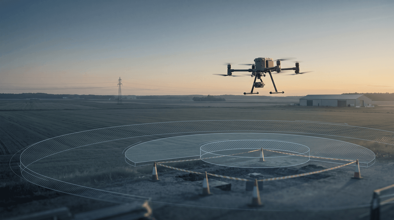
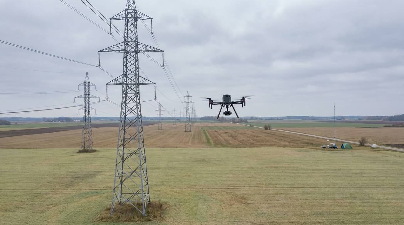
Latvia's government has approved a list of enterprises and sites where drone flights are now prohibited. The criterion is economic, not aeronautical: turnover above €20 million for at least three consecutive years, and at least 50 employees. For a certified pilot, that means a new, separate layer to check before takeoff — alongside the map you already know.
What the government actually published
The list covers enterprises that meet both criteria at once — the turnover threshold and the headcount. It's a security measure meant to protect business and manufacturing infrastructure from malicious or reckless drone use, not a new aviation category under Reg (EU) 2019/947. In other words, the state isn't declaring "here's a new type of airspace" — it's saying "these specific sites are now protected by name, not just by a polygon on a map."
That distinction matters for a pilot. The list works on a "which site" basis, not a "which zone" basis. It does not change the 120 m height limit, the VLOS requirement, or your subcategory's restrictions — those stay in force regardless of this list.
An added layer, not a replacement
Before any flight in Latvia, a pilot already checks several sources: airspace.lv/drones as the single official UAS geographical-zone map, current NOTAMs, and permanent military zones. For how those zones actually work and when a flight needs to be registered in BGKIS, see our article on no-fly zones in Latvia.
The critical-infrastructure list doesn't automatically extend that system across the whole map — it adds a distinct, named-object list, and some of those objects may sit outside any zone the map already flags. In practice, that means a location can look unrestricted on the map while the enterprise itself is still on the list, and therefore off-limits for flight.
The CAA knowledge base already references a related principle: critical-infrastructure sites marked with a "no photography or filming without authorization" sign may not be filmed or photographed without approval. Whether the new government list is the same mechanism at a wider scale, or a separate, additional register, cannot be confirmed from the sources currently available. Treat that as reported, not confirmed, until the CAA or the responsible ministry publishes a clear statement on the list's legal status relative to BGKIS and UAS geographical zones.
Who owes what
The list has two sides, and they shouldn't be conflated:
| Party | Obligation |
|---|---|
| Enterprise on the list | must provide physical and technical protection against rogue drones (detection, signage, procedures) |
| Drone pilot | must know the site is listed and avoid flying over it |
The enterprise's obligation is protection, not airspace control — it doesn't change a pilot's right to fly elsewhere. The pilot's obligation is awareness, not deploying countermeasures. That boundary also determines who a pilot deals with: nobody asks an enterprise for per-flight permission — the pilot simply doesn't plan a flight over the identified site.
How to check the list before you launch
There's a real gap here worth stating plainly rather than glossing over: the available sources don't confirm whether the list is publicly searchable in a data format (an address or coordinate list, for example), or only exists as an annex to a legal act. Until that question is answered by an official source, the practical advice is conservative:
- When planning a flight near a manufacturing, logistics, or energy site, check
airspace.lv/dronesfirst — if the site is already marked as a restricted zone, the question is settled. - If the site doesn't stand out on the map but you know it's a large enterprise (turnover and headcount that could plausibly meet the criteria), assume caution and keep a safe distance.
- If the site displays a physical no-filming or no-photography sign, treat that as a direct signal to stop without authorization.
That's not a perfect process, but it's an honest one — better than guessing from memory.
What happens on an accidental incursion
Nothing about the list changes how a violation gets reported or what penalty applies — those mechanisms are already in force under the general regulatory framework. For the penalty structure and enterprise liability, see our article on drone fines and turnover in Latvia in 2026; for the right response after an alert situation, see yellow and orange drone alert levels.
What matters right now
The critical-infrastructure list is not a new aviation zone and not a new pilot category — it's an additional, name-based restriction layered on top of the existing system. In practice, that adds one extra question before any commercial or nearby flight: given its scale and headcount, could the site below plausibly be one worth confirming rather than assuming.
Still unsure how UAS geographical zones and BGKIS work together? See our guide to submitting a flight request in BGKIS.