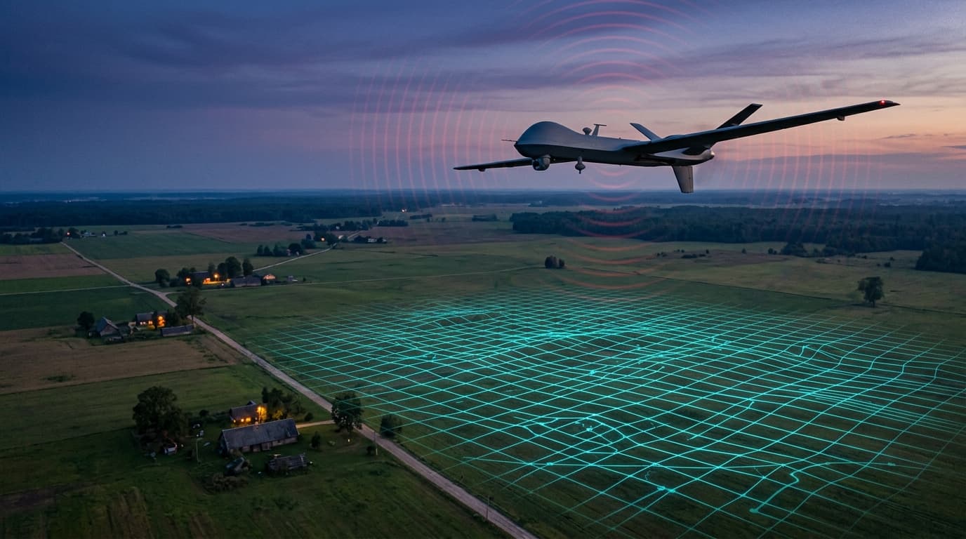
Losing GPS lock in eastern Latvia is no longer a rare event for a drone — it's a known, recurring feature of the local radio environment, reported by both aviation crews and drone pilots. Against that backdrop, UAVOS announced NAVAI in July: a navigation module that lets a fixed-wing drone hold position by matching camera imagery against a preloaded terrain map when satellite signal is degraded or absent. Here's what the mechanism actually does, who it's built for, and what it doesn't change for a consumer drone losing GPS over Latgale.
Why GNSS lock drops near the border
The satellite navigation signal reaching a receiver from orbit is physically weak — below the noise floor, readable only because the receiver already knows the pattern it's looking for. That asymmetry means even a modest ground transmitter can blot it out over a radius of several kilometers. We covered this asymmetry in detail in our piece on the "Pole-31" electronic-warfare system, reported by the Russian outlet iXBT in July 2026. Public crowdsourced GNSS-interference maps (gpsjam.org, which aggregates data from ADS-B receivers) regularly show elevated jamming activity over the Baltic Sea and the eastern Baltic states — consistent with electronic-warfare activity near the border. It's worth staying factual here: this is a documented, recurring phenomenon, not a one-off incident and not something confined to an active war zone.
What a typical A1/A3 drone does when it loses GPS
Most consumer and prosumer multirotors flown under an A1/A3 certificate use satellite coordinates as their only position source. When lock drops below threshold, the aircraft usually falls back to ATTI mode — it stops correcting drift against position data, and the pilot has to compensate for wind manually. Return-to-home (RTH) is unreliable at that point too, since it depends on the same coordinates that just disappeared. We detailed this behavior and the practical response in our weak GPS signal article — it holds regardless of any new navigation technology, because that technology isn't headed toward mass consumer hardware.
What NAVAI is and what it actually does
NAVAI is a navigation module built by UAVOS that uses a neural network to compare live camera imagery against preloaded terrain maps and derive the aircraft's position from that comparison. Per the manufacturer's description, it integrates as an additional navigation layer alongside a standard autopilot rather than replacing it, and results — terrain-match visualization and navigation-confidence data — are shown to the operator through the APS Ground Control Station interface. One precision matters here: the manufacturer names this a solution for fixed-wing UAS, not the multirotor class most A1/A3 pilots fly day to day. That implies a different flight profile, a different mission length, and a different operator base — typically commercial or institutional, not hobbyist.
What's confirmed and what isn't
This is a launched product — UAVOS presented it publicly in July 2026, and the module, going by the description, is integrable now. That needs to be separated from two things this article doesn't claim to confirm: precise performance figures (how accurate, or how long the aircraft holds position without GNSS) aren't published by any independent test, so we don't repeat them here as fact — they're manufacturer claims until shown otherwise. And the module itself isn't a new physical navigation principle — terrain matching against camera imagery and visual SLAM is an established approach used by several research and commercial projects; NAVAI's novelty is the specific product packaging and its integration with a particular ground control station, not the underlying idea.
Will it reach a consumer drone
Not yet, and it's worth saying plainly. NAVAI's target audience is fixed-wing platforms with more onboard compute, a dedicated payload budget for navigation, and commercial or institutional use — not the budget or hardware profile of a consumer or prosumer multirotor. The path from a module like this to appearing in a widely available A1/A3-class drone is a matter of years, not months, and even then it would most likely remain a supplementary layer rather than the primary navigation source — much like the machine-vision and inertial-fusion approaches already making their way into drone design gradually, as we described in the Pole-31 piece.
What matters right now
GNSS interference near the border is a real, recurring phenomenon, not an exception, and the drone industry is responding with navigation layers that don't rely on satellites alone. NAVAI is a concrete example of that trend, but it currently addresses a fixed-wing problem, not a consumer one. The practical answer for an A1/A3 pilot stays the same: know how your specific drone behaves when it loses GPS, don't treat RTH as a guarantee, and be ready to switch to manual control while keeping direct visual line of sight.
Next step: if you haven't read what a weak or lost GPS lock actually means for your aircraft and how to handle it in flight, see our article on weak GPS signal on a drone. For a broader look at how electronic-warfare systems affect drone navigation, read anti-drone systems and electronic warfare.