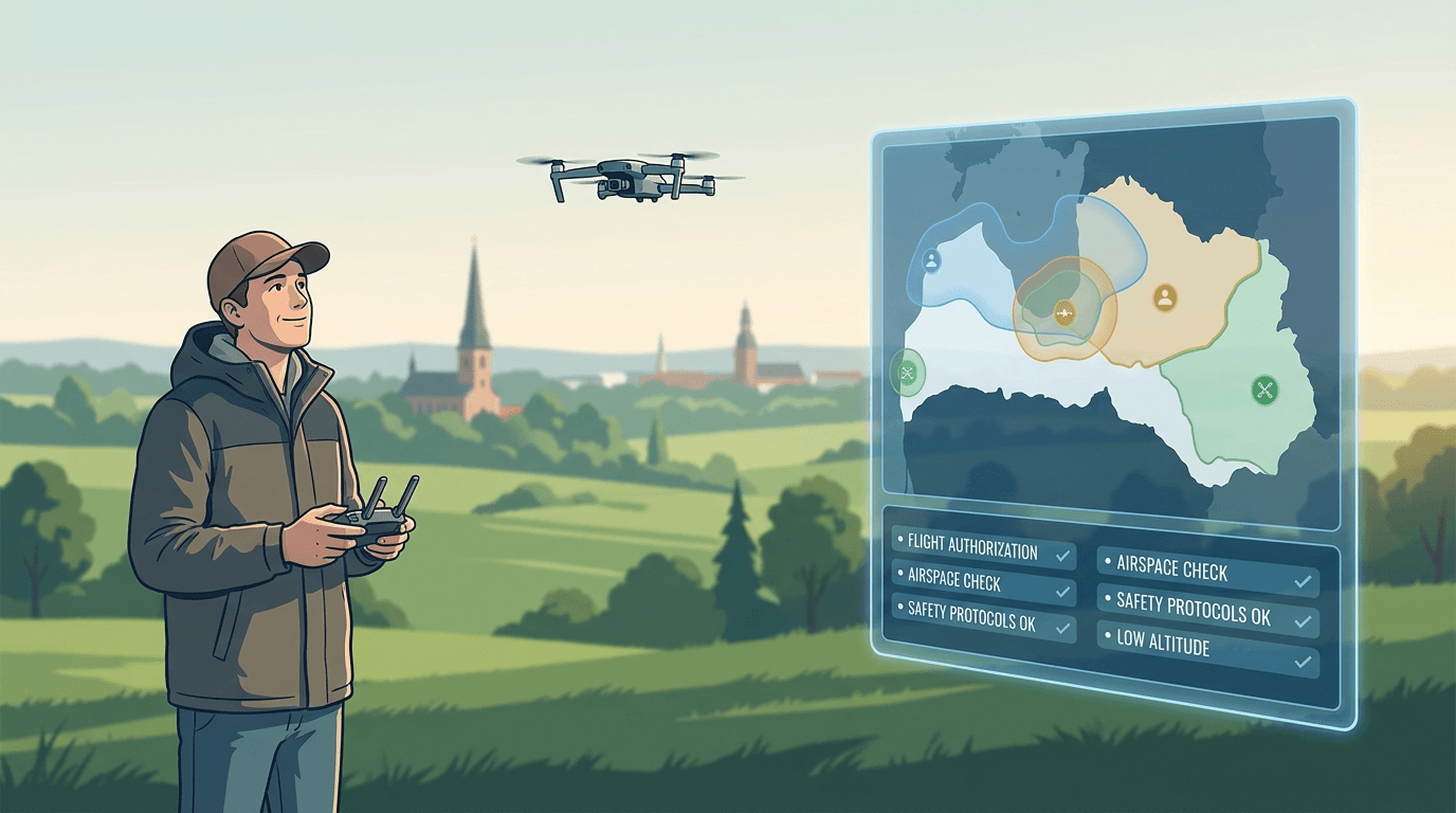
Since 1 January 2025, flying a drone in parts of Latvia comes with a step many pilots still miss. Before you take off in a UAS geographical zone that requires it, the flight has to be registered — and in some cases coordinated — in BGKIS, the Civil Aviation Agency's Unmanned Aircraft Information System. This is not a new fee or a licence. It is a record, and sometimes a coordination step, that the regulation now makes mandatory.
For ordinary open-category flying in unrestricted airspace, nothing changes. What changes is how you handle a flight inside a defined zone: instead of guessing, you file a structured request, and the zone manager either coordinates it or simply receives your notice.
What BGKIS actually does
BGKIS is the Civil Aviation Agency (CAA) system available at e.caa.gov.lv. For flights, it is where a UAS operator submits a request for a geographical zone and where the zone manager processes it. The flight section is called "UAS operations (flights)".
The important limit: BGKIS handles the request and the coordination. It is not a live picture of every airspace restriction in the country — and the CAA says this directly.
What changed on 1 January 2025
The legal basis is Cabinet Regulation No. 248 of 23 April 2024, "Regulations on Unmanned Aircraft Flights". Under points 53 and 73, from 1 January 2025 the operator must register the required information in BGKIS — or another system with equivalent functionality and data exchange with BGKIS — before starting a flight or series of flights in a UAS geographical zone. Where applicable, the zone manager records its decision in the same system.
The point is a single, traceable record: clear responsibility, and a real coordination channel between pilots and the bodies that manage sensitive areas.
Not every UAS geographical zone is a no-fly zone
A common mistake is to read every zone as a ban. It is not how the system works. The CAA defines several types with different conditions:
- Informational (
NO_RESTRICTION | INFORMATION) — no extra restriction; it informs you, for example about higher air traffic or where flights beyond visual line of sight are limited. - Restrictive — one of three requirements: coordinate in advance (
REQ_AUTHORISATION), notify in advance (CONDITIONAL | NOTIFICATION), or meet specific conditions such as technical, operational, or pilot-qualification requirements (CONDITIONAL | INFORMATION). - Prohibitive (
PROHIBITED | INFORMATION) — flights are banned, with no coordination procedure, unless the zone's proposer defined explicit exemptions. - Facilitating — the opposite case: a zone may allow you to set aside some open-category conditions where it explicitly grants relief.
Where several zones overlap, all of their conditions apply at once — except where a facilitating zone states an exception. See our guide to no-fly and restricted zones in Latvia for the prohibitive end of that range.
BGKIS is not the airspace map
This is the distinction that keeps pilots out of trouble. If you go looking for the "CAA drone map" expecting it to show everything, you are using the wrong tool.
- airspace.lv/drones, run by Latvijas gaisa satiksme, is the single official visualisation of UAS geographical zones and their conditions. Airspace information changes — sometimes several times a day — so the CAA requires you to check it before every flight.
- BGKIS is where you submit and coordinate a request once you know a zone applies.
In short: check airspace.lv/drones to see what applies; use BGKIS to submit and coordinate where required.
Who files the request — the operator, not necessarily the pilot
Two roles are involved, and they are not interchangeable. The UAS operator is the person or company on whose behalf flights are carried out, with a valid operator registration (valid one year). The remote pilot actually controls the drone and holds a CAA-assigned remote pilot number. For an individual hobbyist they are usually the same person; for a company they are typically different people, and the request names both. If you are unsure which is which, our operator registration guide sets out the two numbers.
What approval does not give you
A coordination decision in a zone does not lift the baseline rules. If a zone's upper limit is 300 m, you still fly no higher than 120 m in the open category — and lower where another overlapping zone says so. Approval does not mean the airspace is yours: you keep the drone within visual line of sight unless you hold the proper specific-category authorisation. And approvals can be cancelled, so the status and the zone's current conditions must be checked again before you launch.
Before you fly
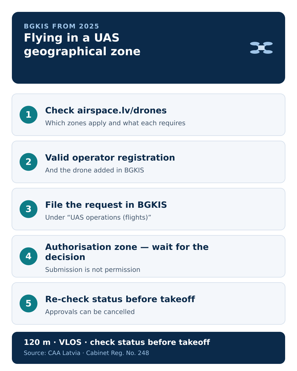
A practical sequence:
- Check
airspace.lv/dronesfor the zone(s) over your location and what each requires. - Confirm your operator registration is valid and your drone is added in BGKIS.
- File the request in BGKIS where the zone requires submission or coordination.
- Wait for the decision in coordination zones — submission is not permission.
- Re-check the request status and the airspace conditions on the day, before takeoff.
Next step: see the step-by-step guide to filing a flight request in BGKIS.