A construction site is one of the few places where a drone earns its keep every single week, not just for a launch photo. Progress documentation, volumetric checks, and inspection of things nobody wants to climb — a site manager who flies regularly gets a running record of the project, not a one-off stunt. The part that gets less coverage is that a live site is also one of the harder places to fly legally: cranes, scaffolding, a boundary fence a few metres from a public road, workers on the ground. This article covers what the drone actually delivers on a construction site, what clients pay for, and what it takes to fly there within the rules.
What drones are actually used for on site
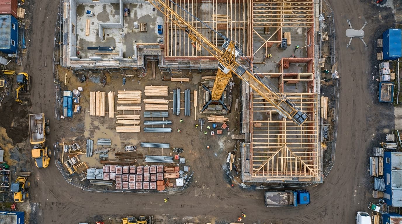
- Progress photos and timelapse. The same three or four vantage points, shot on a schedule — weekly, biweekly, at each major milestone — turn into a documented build history. It is the single most common recurring use, and the easiest to sell because the client can see the value immediately.
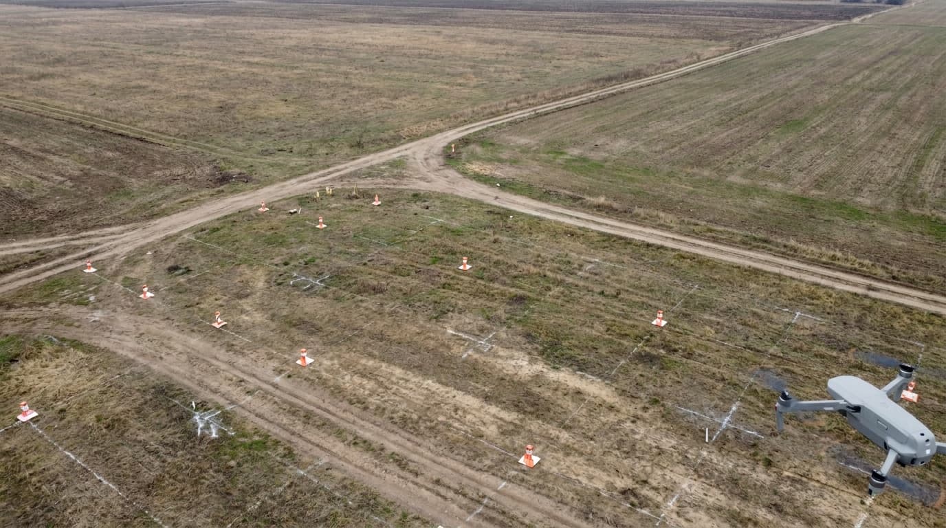
- Volumetrics and stockpile measurement. A drone survey converts a gravel or soil pile into a volume figure without anyone walking it with a GPS rod. For earthworks and aggregate contracts, this is often the deliverable a client actually pays for, not the photo.
- Orthomosaics and site maps. Stitching overlapping photos into a single georeferenced map gives the project team an up-to-date plan view — useful for tracking excavation progress, comparing built condition against the design, and briefing subcontractors who were not on site last week.
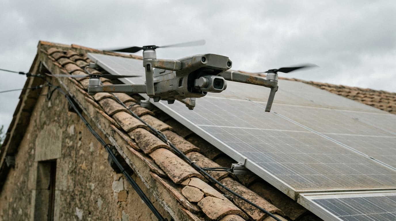
- Inspection of hard-to-reach structure. Roof decks, tower cranes, scaffolding at height, façade panels before cladding closes them up — a drone pass replaces a rope-access team or a cherry picker for a visual check, though it does not replace a certified structural inspection where one is legally required.
- Marketing and investor material. Developers use aerial footage to sell units before the building exists and to show investors a project is moving. It is the smallest technical ask of the list and often the highest-margin one.
None of this requires an exotic aircraft. Most of it runs on the same class of camera drone used for real estate work — the difference is less about the airframe and more about the environment it flies in. That comparison is worth a look at drones for real estate, where the same photography skillset applies to a very different regulatory picture.
What clients actually pay for
The photo is rarely the invoice line. What a construction client is buying is usually one of:
- a progress report — a set of dated, comparable images from fixed vantage points, delivered on a schedule
- a volumetric report — stockpile or cut/fill volumes with a number a quantity surveyor can use
- an orthomosaic or site map — a single georeferenced image the project team can overlay on drawings
- an inspection report — annotated photos flagging visible defects on structure that is otherwise expensive or dangerous to reach
Selling "we'll fly a drone" undersells the work. Selling a report the site manager can hand to a client or a quantity surveyor is what turns a hobby flight into a contract.
The legal reality on a live site
This is where construction stops looking like real estate photography. A site sits inside its own fence, but it rarely sits far from people, roads or neighbouring buildings — and the aircraft usually needs to work close to structures, not just circle them.
Most routine work still fits the Open category
A single building under 120 m, flown within visual line of sight, with no material dropped and no crowd underneath, stays inside the Open category. The subcategory still depends on distance from people and on drone class:
- A sub-250 g or C0/C1 drone flies in A1 — close to bystanders and workers is allowed, over an assembly of people never is. This covers most progress-photo and inspection work on a fenced site with a small crew.
- A heavier C2 drone working within 150 m of the site's surrounding built-up area, or near workers below, needs the pilot to hold the A2 certificate on top of the free A1/A3 exam.
- Every camera-carrying operator must be registered with CAA Latvia, regardless of drone weight.
Where a site pushes into the Specific category
Construction has a habit of tripping the boundaries that keep a flight in Open:
- Large sites and infrastructure projects — a road, a pipeline route, a solar or wind farm build-out — often need mapping runs that go beyond visual line of sight (BVLOS), which is an automatic move into the Specific category.
- Heavy-lift or specialised payloads, such as LiDAR rigs for topographic survey on large earthworks, can push the drone over 25 kg MTOM — another automatic trigger.
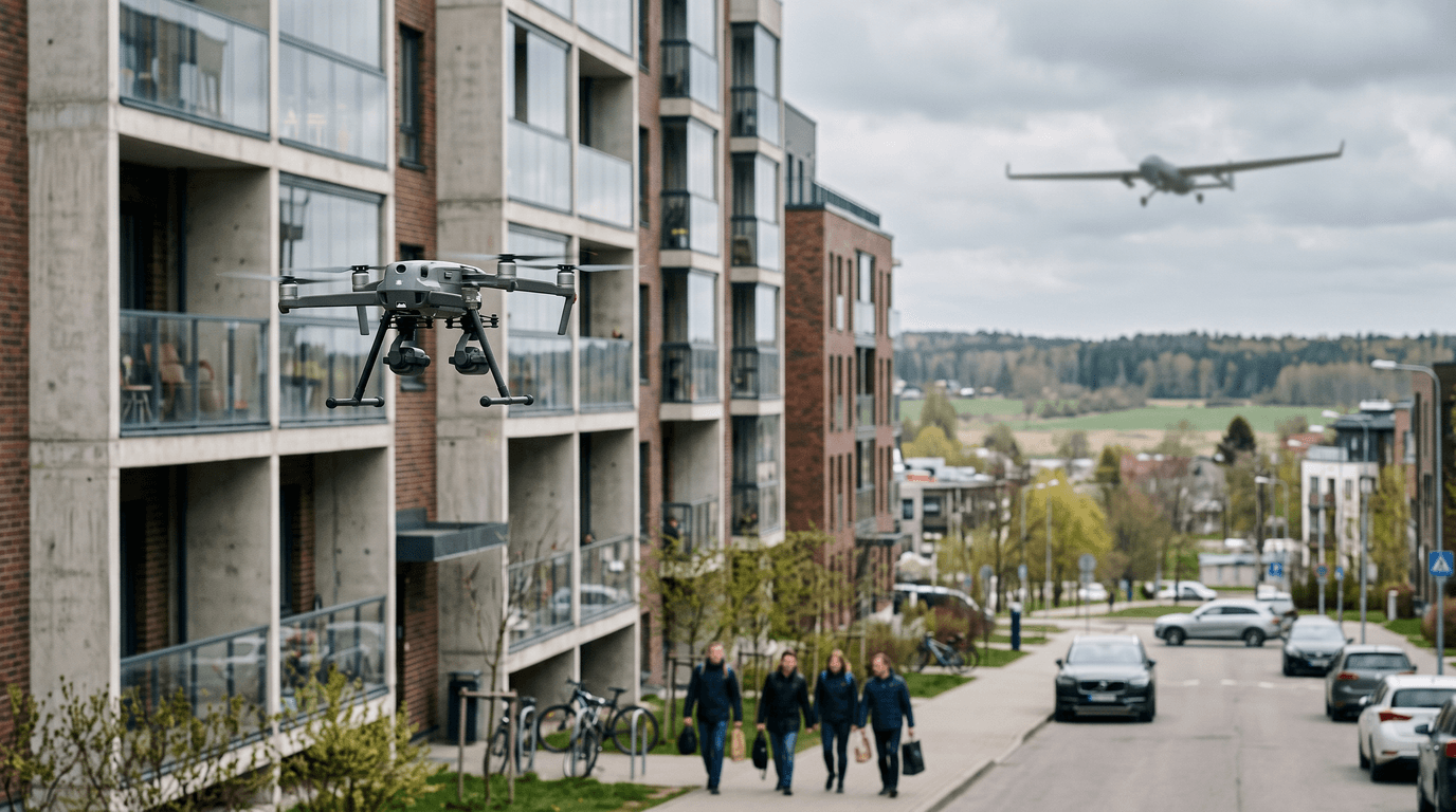
- Dense urban sites close to residential or commercial buildings on more than one side can force distances that a C2/A2 flight cannot meet, requiring an authorisation instead of standing on the A2 subcategory.
None of this is exotic paperwork reserved for big infrastructure operators — a mid-sized housing development next to existing streets can hit the same boundary. Knowing which side of the line a job sits on, before quoting it, is the actual skill; the airframe is secondary.
Zones and site-specific hazards
Two checks apply on every job regardless of category. First, the standard one: UAS geographical zones on airspace.lv/drones, and a BGKIS application if the site sits inside one — mandatory since 1 January 2025, and it does not waive the base rules (120 m ceiling, visual line of sight where applicable). Second, a construction-specific one that no map shows: cranes, temporary power lines, and workers moving underneath the flight path. A pre-flight walk with the site manager, agreeing no-fly windows around crane operation and clear coordination with anyone on the roof or scaffolding, matters as much as the airspace check.
How to start offering it
- Scope the site before quoting. Building type, height, distance to the nearest public road or neighbouring building, and whether the job needs a single vantage point or full-site mapping — that decides whether you are quoting an Open-category job or a Specific-category one.
- Standardise the deliverable. A fixed set of vantage points shot on a schedule, or a repeatable volumetric survey method, turns a one-off flight into a recurring contract — and makes pricing predictable for both sides.
- Coordinate with the site, not just the airspace. Agree flight windows with the site manager around crane swings, concrete pours and shift changes. A drone operator who ignores site logistics loses the client faster than one who misses a zone check.
- Treat insurance and documentation as part of the offer, not an afterthought — construction clients are used to subcontractors carrying liability cover and expect the same from a drone service. The broader setup — registration, insurance, pricing a recurring service — is covered in how to start a drone business.
What matters now
Construction is one of the strongest recurring use cases for commercial drone work precisely because the deliverable compounds: a progress archive gets more valuable with every flight, not less. The barrier is not the camera — it is knowing when a site's size, height or proximity to people moves the job out of Open and into Specific, and building the site coordination habits that keep flights safe around cranes and crews. Both of those are exam and procedure knowledge, not equipment.
Planning to offer construction survey work? Start with the certificate every route requires — the free A1/A3 exam — and prepare properly with the dronelingo course.