"Agricultural drone" is a marketing phrase that covers two operations with almost nothing in common. A multispectral drone flying a wheat field at 80 m to build an NDVI map is, in regulatory terms, close cousins with a mapping survey. A drone carrying 20 litres of plant-protection product low over the same field is a different aircraft in a different category, doing something the EU rulebook singles out by name. Anyone looking at agriculture as a drone business needs to keep those two apart from the first conversation with a farmer.
Crop scouting and mapping: the light end of the job
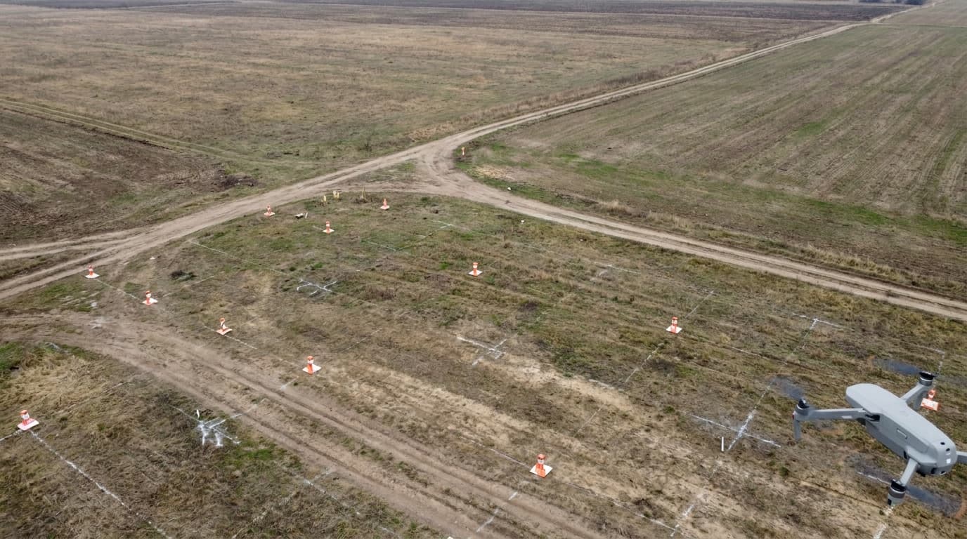
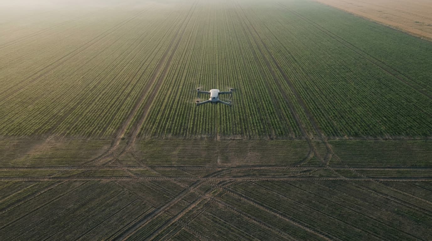
Most of what makes drones useful in farming does not involve spraying anything. A multispectral or NDVI sensor reads plant health from reflected light before problems are visible to the eye — stressed patches, uneven germination, irrigation gaps — and a mapping pass over the same field produces an orthomosaic that farm-management software turns into yield estimates, variable-rate prescriptions or simple boundary records.
Operationally, this sits inside the Open category in the great majority of cases. A field is, by definition, away from people — so most scouting and mapping flights run in subcategory A3, keeping a 150 m buffer from residential, commercial, industrial and recreational areas, well clear of anyone not involved in the flight. The baseline rules still apply in full: visual line of sight, a 120 m altitude ceiling, and — for any drone at or above 250 g — the registered operator and a remote pilot who has passed at least the free A1/A3 exam. A large mapping mission over several fields sometimes tempts a pilot toward BVLOS or above 120 m for coverage reasons; the moment either line is crossed, the flight has left Open and needs the paperwork covered in the Specific category, not a scouting workflow.
The barrier to entry here is closer to the one in real estate photography than to industrial inspection: a capable sub-25 kg drone, a sensor suited to the work, registration, and the A1/A3 baseline. What separates a hobbyist with a camera from a service a farm will pay for is less the certificate and more the ability to turn raw imagery into an index map or a usable orthomosaic — that is where the actual client value sits.
Spraying: a different, heavier regulatory tier
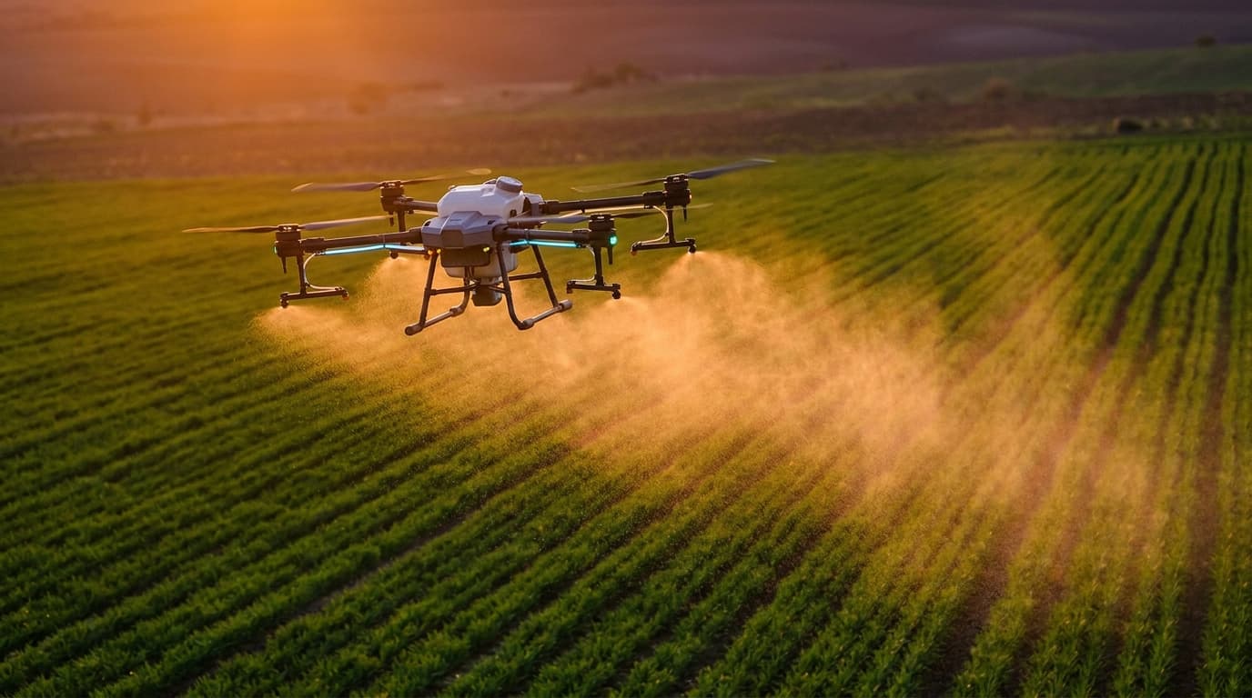
Spraying is not scouting with a bigger tank. EU Regulation (EU) 2019/947 lists dropping material or spraying as one of the operations that, on its own, puts a flight into the Specific category — regardless of how light the drone happens to be. In practice the point is close to academic, because spray drones carrying a useful payload of plant-protection product routinely exceed 25 kg take-off mass anyway, which is a second, independent trigger for the same category.
Specific category means the operator cannot simply fly on the strength of an A1/A3 certificate. The operation needs either an operational declaration against a published standard scenario, or — far more likely for spraying, which does not match the current STS scenarios — a full risk assessment and an operational authorisation from the aviation authority, with an operations manual, defined mitigations and proof of insurance behind it. That is a materially heavier commitment than the Open-category baseline: more paperwork, a longer approval lead time, and an ongoing operational-manual discipline rather than a one-off exam.
On top of the aviation permit sits a second, separate layer that EASA does not regulate at all: national rules on the application of plant-protection products. Which chemicals may be applied aerially, under what conditions, and who is authorised to apply them is a matter for national plant-protection and agricultural authorities, not for drone regulation. A spraying operation in Latvia therefore needs both tracks cleared — an aviation authorisation from the CAA, and separate compliance with the national plant-protection framework — and the two are not interchangeable. This article does not claim a specific, ready-made approval pathway exists for drone spraying in Latvia; anyone building that service needs to confirm the current state of both frameworks directly with the CAA and the relevant agricultural authority before quoting a client.
What a provider actually needs
For scouting and mapping, the entry list is short and familiar: operator registration, the A1/A3 certificate for the remote pilot, a drone with a suitable sensor, and enough post-processing know-how to deliver something a farm manager can act on rather than a folder of raw photos. Liability insurance is worth carrying even where the Open category does not strictly require it — a lesson equally true across every commercial drone niche, real estate included.
For spraying, the list is a different order of magnitude: a Specific-category operational authorisation (or, for a business flying this regularly, eventually a Light UAS Operator Certificate), a risk assessment that survives regulator scrutiny, sprayer-specific equipment considerations — payload containment, drift, calibration — and, separately, whatever national plant-protection registration or applicator authorisation the operation requires. It is not a natural first service for a new operator; it is closer to a specialised second stage once the scouting side of the business is established and the operator understands both regulatory tracks. The general groundwork for setting up as a commercial operator — registration, insurance, pricing a service — is covered in how to start a drone business; spraying adds the Specific-category and plant-protection layers on top of that foundation.
What matters now
Crop scouting and mapping are, regulatorily, an accessible Open-category service built on the same A1/A3 baseline as most commercial drone work — the differentiator is data quality, not paperwork. Spraying is not a variant of that service; it is a Specific-category operation with a second, national compliance layer attached, and it should be priced, planned and sold as such. Confusing the two — quoting a spraying job on an A1/A3 certificate, or assuming a mapping contract needs Specific-category authorisation it does not — is the fastest way to lose a farm client's trust.
Starting with the accessible half of this niche? Scouting and mapping run on the same Open-category foundation as most commercial drone work — get it right with the dronelingo course.