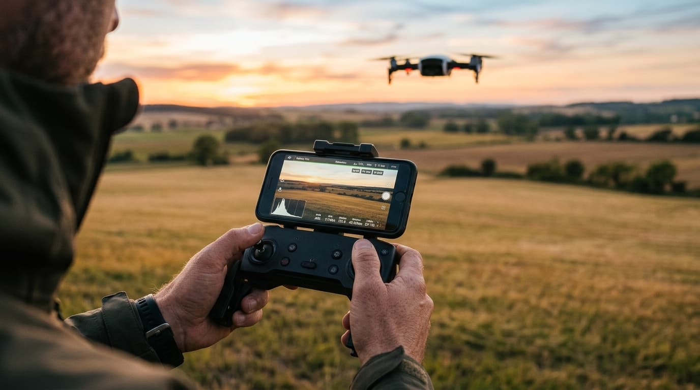
"Best altitude for drone photography" is the wrong question, and it produces the wrong habit: dial in a number that worked last time and send the drone up to it before even looking at the scene. Altitude is not a setting you optimise once. It is a compositional choice, made shot by shot, that changes what the camera can see about scale, layering and pattern — and it is made inside one hard boundary that does not move.
Low altitude: foreground depth and scale
Close to the ground — tens of metres, roughly tree height and just above — a landscape still reads the way a person on foot would read it. A boulder in the foreground is large relative to the ridge behind it; a lone tree has a trunk and a shadow, not just a canopy. This is the band where a drone shot keeps a human sense of scale: something close, something far, and a visible size relationship between them that a viewer's eye can use as an anchor.
The cost is coverage. Low altitude sees less landscape per frame, so it rewards a strong, specific foreground subject — a rock formation, a boat, a single building — rather than a wide scene with nothing for the eye to land on first.
Mid altitude: layered landscapes
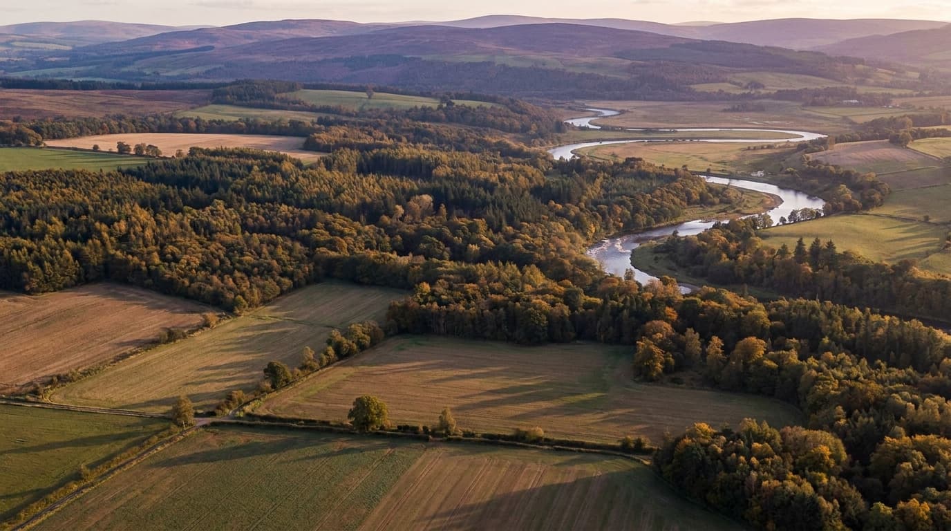
Climb to a working middle height and the frame starts to stack: foreground, midground and background separate into distinct layers with genuine depth between them — a valley floor, then a treeline, then a ridge, then sky. This is the band most landscape work actually happens in, because it keeps enough scale to feel grounded while showing enough of the terrain to read as a place rather than a close-up.
Haze and atmospheric perspective start doing real work here too: distant layers soften and desaturate slightly compared to the foreground, which is a natural depth cue a wide shot on the ground rarely gets for free.
High altitude: pattern and abstraction
Push higher still and individual objects stop being the subject — the arrangement of them is. Fields become geometry, a river becomes a line, a forest becomes texture. This is where drone photography does something a ground camera structurally cannot: it turns a familiar landscape into a pattern, a shape, a near-abstract composition read from directly above or at a steep angle.
The trade-off is the mirror image of low altitude: strong on graphic composition, weak on the sense of scale and presence that makes a viewer feel like they could walk into the frame.
The one number that isn't a choice: 120 m and VLOS
Everything above is a creative decision. This is not: in the EU Open category, the operational ceiling is 120 metres above the surface, and the flight has to stay within visual line of sight (VLOS) — the remote pilot keeping the aircraft visible, unaided, throughout the flight (EASA Easy Access Rules for UAS). "Above the surface" matters in terrain: on a hillside or over a valley, the limit tracks the ground or water directly beneath the drone, not the takeoff point, so the legal ceiling can shift as you fly across changing terrain.
Inside that ceiling, altitude is yours to compose with. Outside it, no shot is worth the flight — this is the one constraint the article above does not apply to.
A practical method
Before sending the drone up to a fixed number, decide what the shot needs first:
- Pick the subject of the frame. A single object, a layered scene, or a pattern — the answer points to a height band before you touch the sticks.
- Climb in stages, not one jump. Pause every so often and check the frame: has scale disappeared, or has the layering resolved?
- Watch the horizon line. As it drops in the frame, the shot is trading intimacy for scope — useful to notice, easy to overshoot.
- Recheck VLOS continuously, not just at the start of the flight — distance and altitude both erode it, and terrain or haze can erode it faster than either.
Light interacts with all of this: at altitude, low sun rakes across terrain and throws long shadows that read as texture from above; the same light at low altitude just lights a subject. Match the height band to the light you have, not only to the subject.
What matters now
There is no single best altitude — there is a best altitude for this shot, and it is found by climbing with intent rather than by habit. Low altitude keeps scale, mid altitude builds layers, high altitude turns a landscape into a pattern, and camera settings plus ND filters do the rest of the work once the height is chosen. If the shot is meant to move rather than sit still, the same layering logic carries into cinematic drone moves. None of it matters if the flight is not legal to begin with: the 120 m ceiling and VLOS are not creative constraints, they are the frame everything else sits inside. The A1/A3 course covers exactly that boundary — dial in composition once the legal ceiling is a fact you don't have to think about mid-flight.