Drones for real estate look like the easiest commercial use case there is: take off, circle the house, done. The photography part mostly is that easy. The part most guides skip is that property listings sit exactly where drone rules are strictest — in towns, between neighbours, often inside controlled airspace. This article covers both halves: what an aerial shot actually adds to a listing, and what it takes to shoot it legally in Latvia.
What aerial shots add that ground photos can't
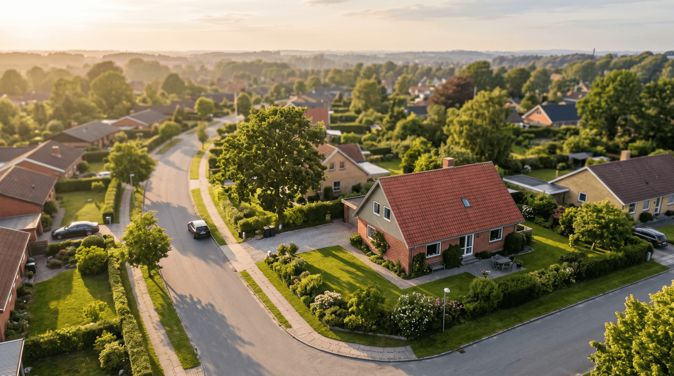
A listing shot from eye level answers one question: what does the house look like? A drone answers the questions a buyer actually drives out to check.
- The plot in context. Where the boundaries run, how the house sits on the land, what share is garden versus driveway, where the shed and the septic access are. A single top-down frame replaces a paragraph of description that nobody trusts anyway.
- Roof condition. Buyers of older houses care about the roof more than about the kitchen. An oblique pass shows the covering, the chimneys and the gutters without anyone climbing a ladder — and an honest roof photo builds trust even when the roof is imperfect.
- The surroundings. What is behind the fence: a forest, a railway line, a neighbour's workshop? Distance to the bus stop, the school, the lake. This is context a ground camera physically cannot capture, and it is often the deciding factor for family buyers.
- Light and season. The same house reads differently at 9:00 and at 19:00. A short evening pass shows which terrace gets the low sun — a small thing that ground photos rarely communicate.
None of this needs cinematic production. A handful of sharp, level, well-timed frames does the work. What it does need is the right aircraft and the right paperwork for the location — and that is where it gets interesting.
The regulatory catch: listings live in built-up areas
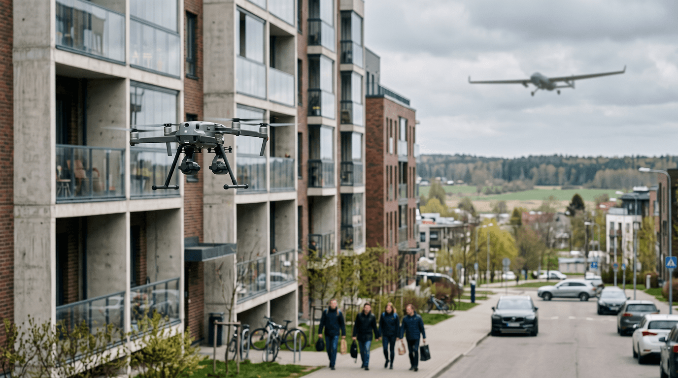
The EU Open category was written around distance from people. Houses for sale are surrounded by them. In practice that leaves two lawful configurations.
Option one: a sub-250 g or C0/C1 drone in A1
A drone under 250 g, or one carrying a C0 or C1 class mark, flies in subcategory A1 — close to people is allowed, flying over assemblies of people never is. For a lightweight drone this is the whole trick: you can work over a suburban plot with neighbours around without any extra certificate beyond the baseline. If the drone weighs 250 g or more, the remote pilot needs at least the free online A1/A3 exam; and because every camera drone carries a sensor that records personal data, the operator must be registered with CAA Latvia (5 EUR per year, the LVA number goes on the airframe).
Option two: a C2 drone plus the A2 certificate
A heavier C2-class drone in subcategory A3 must stay 150 m away from residential, commercial, industrial and recreational areas — which rules out essentially every listing. To bring a C2 drone into a built-up area you need the A2 certificate: an in-person exam on top of A1/A3, after documented practical self-training. Even then the distance rules stay live: at least 30 m horizontally from uninvolved people, reducible to no less than 5 m with the low-speed mode and the 1:1 principle. The full decision tree is in A1/A3 or A2 — which certificate you need.
Geographical zones and BGKIS
The subcategory question is only half the check. Latvian towns are dotted with UAS geographical zones — around airfields, hospitals, prisons, state institutions. The only official map is airspace.lv/drones; the geofencing built into the drone itself is explicitly not a legal source. Since 1 January 2025, flying inside a UAS geographical zone requires a prior application in BGKIS, Latvia's unmanned aircraft information system — and an approval covers only that zone's conditions, not the base rules. The 120 m ceiling and visual line of sight still apply. Where to check what, and in which order, is covered in BGKIS or airspace.lv — where to check drone zones.
The neighbours
A property shoot points a camera at a neighbourhood, not just at one house. Common sense goes a long way here: plan the flight path over the property being sold, not along the street; do not hover facing windows; tell the immediate neighbours before takeoff — a thirty-second conversation prevents most complaints; and in the edit, crop or blur other people's yards that ended up in the frame. The seller ordered photos of their house, not of the street.
A practical workflow that survives contact with reality
- Scout the location before quoting the job. Open the address in the can-I-fly-here tool and on airspace.lv/drones. If the property sits in a zone that needs a BGKIS application, that is a lead time, not a dealbreaker — but you need to know before promising photos "tomorrow".
- Write a shot list. A repeatable set works for almost any house: one top-down of the plot, two or three obliques of the facade at 30–60 m, a roof pass, one wide frame showing the surroundings, and a short orbit clip if video is wanted. Ten minutes of flying, not forty.
- Pick the weather window. Flat grey light kills aerial photos; strong wind kills sharpness and battery margins. Morning and early evening on a clear or lightly clouded day do most of the work. Rescheduling by a day usually costs less than delivering a dull set.
Gear: the boring answer is usually right
For listing photography, a sub-250 g camera drone is the pragmatic default — it flies in A1 over a suburban plot with the fewest constraints and no A2. A larger sensor buys image quality at the cost of class marking and rules. The trade-offs between the weight classes are laid out in DJI Mini vs Air vs Mavic; the short version is that regulation, not the spec sheet, should pick the airframe for this niche.
Is this a business niche?
Real estate is a classic entry point into commercial drone work: recurring demand, short jobs, low equipment threshold. It is also price-competitive for exactly those reasons. If you are weighing it as more than a side income, the wider picture — registration as an operator, insurance, pricing a service — is in how to start a drone business.
The takeaway
Aerial photos genuinely improve a listing — by showing plot, roof and context rather than by decoration. The barrier is not photographic skill; it is knowing which subcategory your drone falls into, checking the zone before you quote, and treating the neighbours as part of the job. All of that is exam material, not folklore.
Next step: if you plan to shoot in built-up areas, sort your qualification first — start with the free A1/A3 and prepare with the dronelingo course.