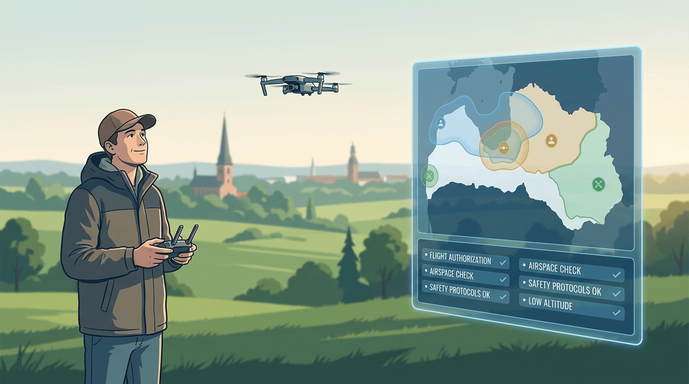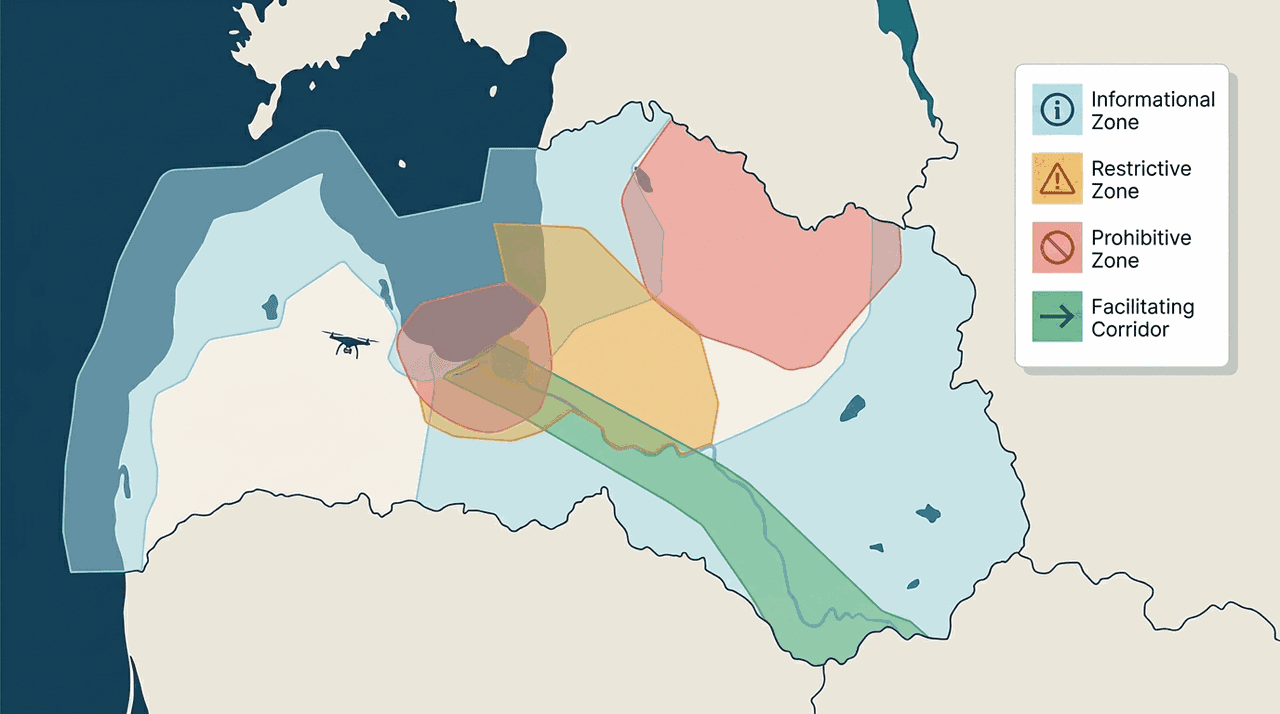
"UAS geographical zone" can sound like a polite way of saying "no drones here." It is not. The term comes from the EU framework, and it covers a whole range of situations — from a zone that only gives you information, to one that asks you to coordinate, to one that bans flights outright, to one that actually relaxes the usual rules. Reading every zone as a ban is the most common misunderstanding. It leads pilots to either over-restrict themselves or miss a real condition.
A UAS geographical zone (in Latvian, UAS ģeogrāfiskā zona) is a defined part of the airspace where extra conditions, restrictions, or relief apply on top of the EU-wide baseline. Each EU member state can create them.
Why zones exist
The EU-wide rules already cover the basics everywhere. Zones exist to handle the local risks those baseline rules do not: safety near sensitive sites, privacy and data protection, and environmental concerns such as wildlife. Instead of tightening the national rules everywhere, a zone targets a specific place and a specific reason.
The four kinds of zone
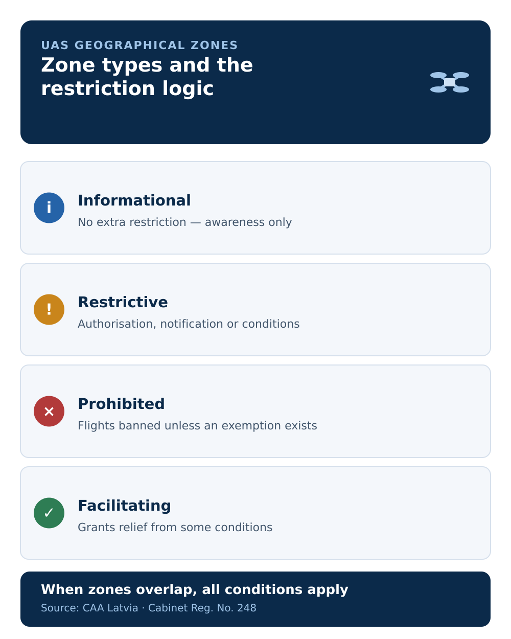
The CAA distinguishes several types, and the differences are the whole point.
Informational
An informational zone (NO_RESTRICTION | INFORMATION) adds no restriction. It tells you something useful — that air traffic may be higher here, or that flights beyond visual line of sight are limited at this spot. The zone manager acts as a contact point if you need more detail.
Restrictive
A restrictive zone limits flying with one of three requirements:
- Coordinate in advance (
REQ_AUTHORISATION) — the manager receives and coordinates your request, and may set a coordination procedure. - Notify in advance (
CONDITIONAL | NOTIFICATION) — the manager receives a notice; the aim is information flow with less administrative load than full coordination. - Meet specific conditions (
CONDITIONAL | INFORMATION) — for example technical, operational, or pilot-qualification requirements. These can be combined.
Prohibitive
A prohibitive zone (PROHIBITED | INFORMATION) is where flying is actually banned, with no coordination route — unless the zone's proposer has defined explicit exemptions. In an emergency, an individual case may be considered separately. For the prohibitive end in practice, see no-fly and restricted zones in Latvia.
Facilitating
A facilitating zone is the inverse: it can allow you to set aside some open-category conditions where it explicitly grants relief. This is why "every zone is a restriction" is wrong — some exist to make a specific operation easier.
When zones overlap
Where several zones cover the same place, all of their conditions apply at once. The one exception is a facilitating zone that explicitly states a departure from another zone's conditions. So overlapping zones stack their requirements; they do not cancel each other.
What a zone never changes
A zone's conditions sit on top of the baseline rules — they do not replace them. Even with a coordination approval, you still fly no higher than 120 m in the open category and keep the drone within visual line of sight, unless you hold the proper specific-category authorisation. A zone can be stricter than the baseline; it does not loosen the baseline unless it is explicitly a facilitating zone.
Where to see them
Zones are not static — conditions can change during the day. The single official visualisation is airspace.lv/drones, run by Latvijas gaisa satiksme, and you check it before every flight. The map inside BGKIS is only for coordination, not a complete picture — we cover that split in BGKIS or airspace.lv.
The takeaway
Before you fly, the useful question is not "is this a no-fly zone?" but "what type of zone is this, and what does it ask of me?" Identify the type, meet its condition — information, notification, coordination, a technical requirement, or in some cases nothing at all — and check the current map.
Next step: check a real location on the can I fly here map, then see where these zones fit the whole process in BGKIS from 2025.