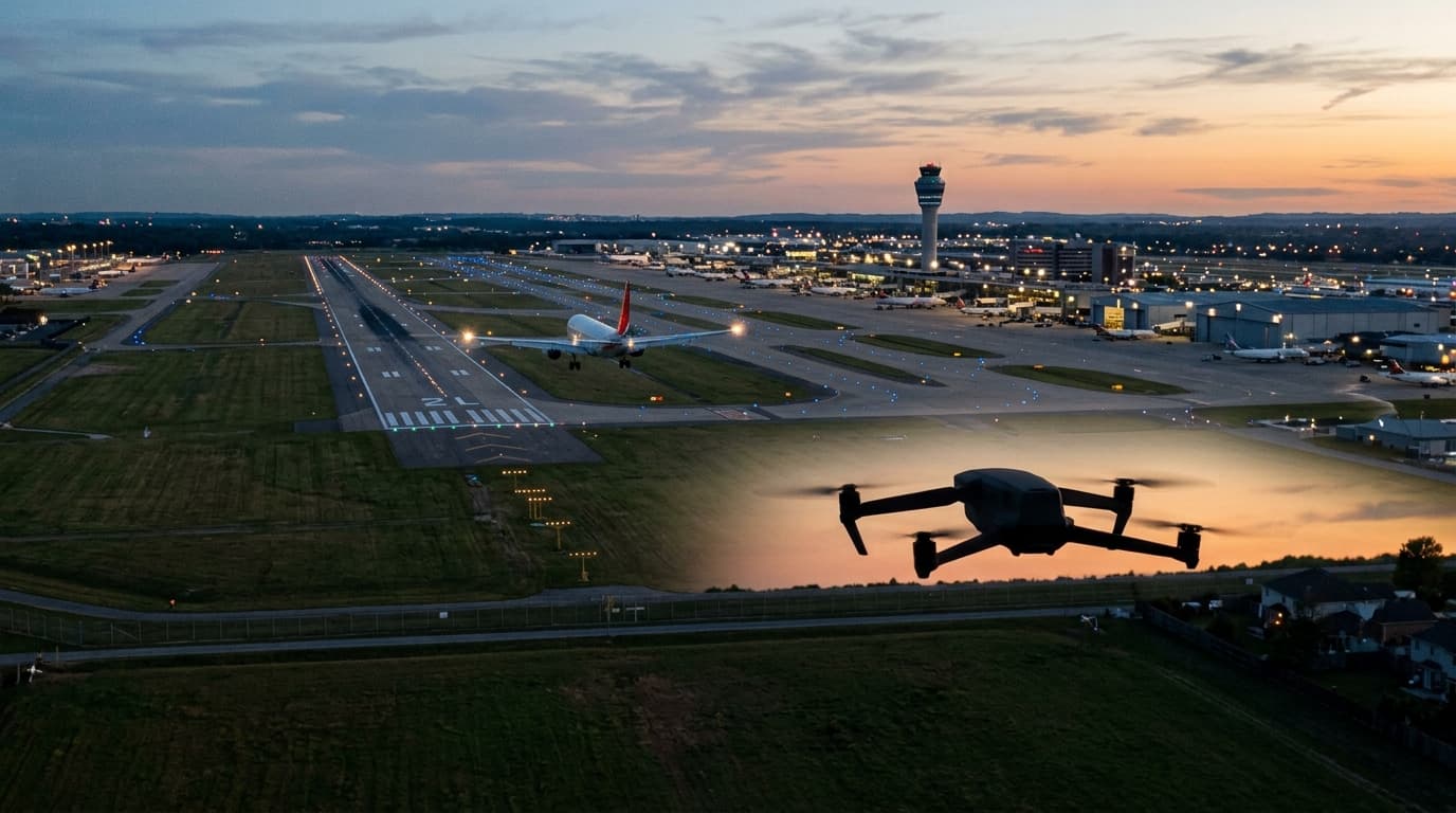
Near an airport, do not work from memory, distance guesses or the warning screen in a drone app. The only useful question is: what does the official UAS geographical-zone map say for this exact point, altitude and route?
Open airspace.lv/drones before planning the flight. Airports and aerodromes can be surrounded by zones with different conditions. Some may prohibit a flight, some may require notification, and some may require authorisation. Since 1 January 2025, the CAA process for flights in UAS geographical zones runs through UASIS or an integrated system where filing is required.
If the map shows a zone, read the condition rather than assuming the answer from the colour alone. File the notification or authorisation request before take-off, wait for the required outcome, and re-check the map before flying because CAA notes that airspace conditions can change.
Even with a valid filing, the Open-category baseline remains: VLOS, height limit, no assemblies of people and the correct distance from uninvolved people for your subcategory.
For the general workflow, use where can I fly in Latvia. For a quick spot check, use can I fly here. If airport zones are still confusing, review the basics in courses.