You checked airspace.lv, filed your BGKIS request, and the zone came back clear. You can still be breaking the law the moment you take off — if your site sits inside a nature reserve. Latvia protects its wildlife through a second set of rules that most pilots never read, enforced by a different authority than the one that runs the airspace.
This is our practical reading of that nature-protection layer: where it applies, what it forbids, and how to get a permit when you need one. It is plain-language guidance based on published rules, not an official procedure.
The nature layer is separate from the aviation layer
Two independent systems govern the same patch of sky.
The aviation layer is the one you already know: UAS geographical zones, the 120 m ceiling, VLOS, operator registration, and the BGKIS flight request. It is run by the Civil Aviation Agency and shown on airspace.lv/drones.
The nature-protection layer is run by the Nature Conservation Agency (Dabas aizsardzības pārvalde). It applies inside specially protected nature areas — national parks, nature reserves, nature parks, and their internal zones — each with its own protection regulations issued as a Cabinet Regulation under the law "On Specially Protected Nature Territories."
The trap: a green zone on the airspace map does not settle the nature-protection layer. A site can be clear for aviation and still be closed to drones because it is a bird-nesting reserve. Clearing one system does not clear the other. You have to check both.
What the general rules already demand near wildlife
Even outside any protected area, the national drone flight rules (Bezpilota gaisa kuģu lidojumu noteikumi) already constrain how you fly around animals. The pilot must, as far as possible, avoid flying over people, road vehicles, animals, buildings, and engineering structures. You must carry a personal identification document, and you must stop the flight immediately when an official — including a state environmental inspector from the Nature Conservation Agency — requests it.
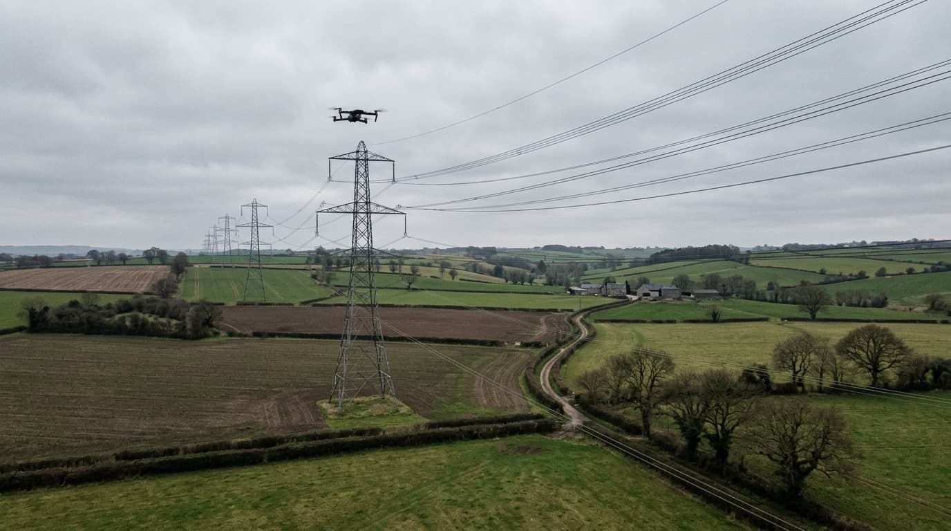
There is a reason wildlife is on that list. A drone looks small, quiet, and harmless to us. To animals and birds it can read as a predator: its approach causes acute stress, pushes animals off nesting or feeding sites, and can disrupt migration. The Agency has been explicit that low, close passes for a better shot are exactly the behaviour the rules exist to stop.
Where the hard limits are
Inside protected areas the individual regulations replace "avoid where possible" with fixed numbers. Three cases show how specific they get.
Gauja National Park. Flights below 300 m — drones and balloons included — are prohibited over the nature reserve zone and the nature restricted zone. The only exceptions are a permit from the Nature Conservation Agency for photography, filming, remote observation, and data acquisition, or flights in emergencies and search-and-rescue work.
Ķemeri National Park. Here the limit is wider. Flights below 300 m across the entire park are allowed only with a permit from the Agency. The exceptions are narrow: state-defence functions, emergencies, and search-and-rescue.
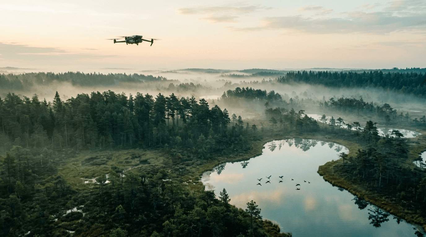
Nature Park "Pape". In the nature restricted zone over Lake Pape and the Nida bog, from 15 March to 20 September, nothing may move below 500 m — drones, balloons, and any engine-powered aircraft — so that birds can breed and feed undisturbed. The window is seasonal, but during it the floor is absolute.
These three are examples, not the whole list. Latvia has hundreds of specially protected areas, and the numbers and zones differ from one to the next. The rule that generalises is the method: before you fly somewhere wild, find the specific protection regulation for that area and read what it says about flights.
When you need a permit — and how to get one
If the area's rules require the Agency's approval, you apply to the Nature Conservation Agency for a permit to carry out activities in a specially protected nature area. In practice that is filming, photography, remote observation, or data acquisition below the local height floor. The request goes through the state e-service for authorisations and coordination for activities in protected areas and micro-reserves.
Two things to plan around. First, this is separate from the BGKIS flight request — a nature permit does not clear the airspace zone, and a BGKIS clearance does not clear the nature restriction. If your site carries both, you need both. Second, allow time. This is a reviewed application, not an instant confirmation, so it does not fit a same-day plan.
Enforcement is real, if modest in volume. The Agency has reported issuing 13 permits for drone use in protected areas in a single year and opening two administrative infringement cases over drone-rule breaches in the same period — several of them traced from footage the pilots themselves posted on social media.
The pre-flight check that catches it
Add one question to the routine you already run for airspace:
- Airspace layer. Check
airspace.lv/dronesfor the zone type and any NOTAM, and file the BGKIS request if the zone needs it. - Nature layer. Is the site inside a national park, nature reserve, nature park, or micro-reserve? If yes, find that area's protection regulation and read the flight clause — height floor, seasonal window, permit requirement.
- Permit, if required. Apply to the Nature Conservation Agency and wait for a positive decision before you fly.
- Base limits, always. A permit lifts the local nature restriction only. The 120 m ceiling, VLOS, registration, and marking still apply.
What matters now
The nature-protection layer is the rule most likely to catch a hobbyist chasing landscape footage — precisely because the airspace map does not show the whole permission picture. Wild coastline, a river valley, a bog at dawn: these are the shots people want, and they are exactly where the second set of rules bites. Before you fly somewhere beautiful, assume it is protected until you have checked that it is not.
Where the aviation layer is concerned, the full method is in our guide to where you can fly a drone in Latvia, and the Airspace Limitations — Geozones lesson covers UAS zone types and BGKIS in detail. To check a specific spot, open the airspace map. If your drone or operation requires A1/A3, exam prep starts on the course page.