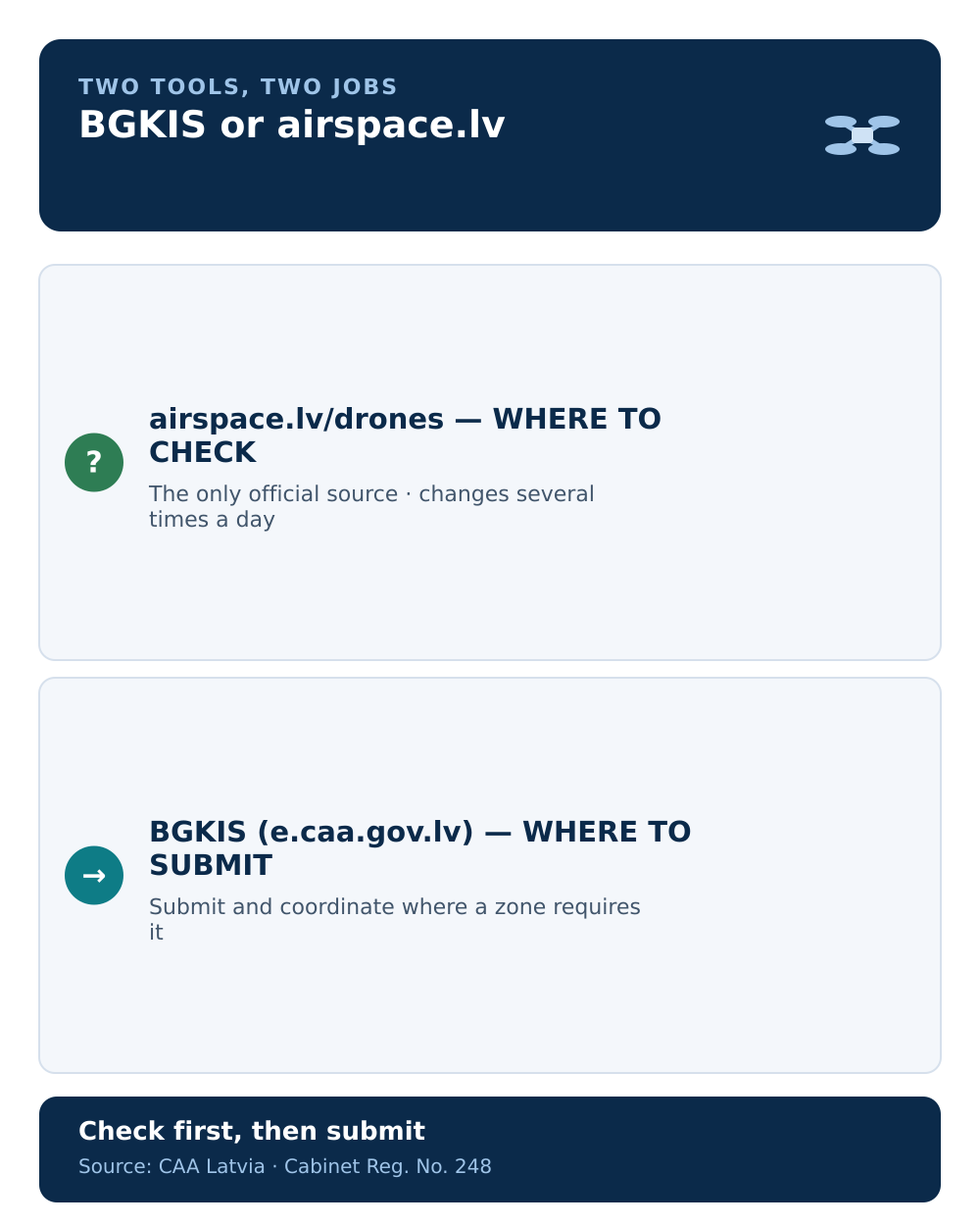
Two official tools sit next to each other in Latvia's drone system, and pilots routinely mix them up. airspace.lv/drones shows what applies at a location. BGKIS is where you submit and coordinate a flight once you know a zone applies. They are not two views of the same service, and using one for the other's job is how flights go wrong.
The short version: check airspace.lv/drones, act in BGKIS.
airspace.lv/drones — the official picture
The interactive map at airspace.lv/drones, run by Latvijas gaisa satiksme, is the single official visualisation of UAS geographical zones and their conditions. If you want to know whether a place is informational, restrictive, prohibitive, or carries facilitating conditions, this is the authoritative source.
Two things make it non-optional:
- Airspace information changes, sometimes several times a day. The CAA requires you to check it before every flight, not once.
- Drone-side geo-awareness is not a substitute. The CAA warns that manufacturers' built-in zone data is often incomplete or out of date.
For pilots who need geo-awareness in the aircraft, Latvijas gaisa satiksme also publishes the zones as an ED-269 JSON dataset for C1, C2, and C3 class drones. It has to be reloaded before each flight to stay current.
BGKIS — where you submit and coordinate
BGKIS, reached at e.caa.gov.lv, is the Civil Aviation Agency's system for filing and coordinating flight requests. When a zone requires submission or coordination, this is where the operator files the request and the zone manager records the decision.
BGKIS does show a map, and this is exactly where the confusion starts.
Why the BGKIS map is not the airspace map
The CAA states it plainly: the map inside BGKIS does not show all current conditions and restrictions in the airspace. That section exists for coordinating flights in zones where submission or coordination is required — not as a complete picture of what is restricted right now.
So if you open BGKIS, see a clean map, and assume the airspace is clear, you are reading the wrong tool. The complete, current visualisation is on airspace.lv/drones. If you went looking for the "CAA drone map" and landed inside BGKIS, that is the trap to avoid.
How they work together
A normal sequence uses both, in order:
- Check
airspace.lv/dronesfor the zone(s) over your planned location and what each requires. - If a zone needs it, submit the request in BGKIS and wait for coordination where required.
- Re-check
airspace.lv/droneson the day, before takeoff, because conditions can change.
One way to remember it: airspace.lv answers "what applies here right now?"; BGKIS answers "is my flight in this zone submitted and coordinated?". For the zone types behind that first question, see what a UAS geographical zone is.
Common mistakes
- Treating the BGKIS map as complete. It only covers coordination zones, not all restrictions.
- Checking once. Conditions can change during the day; check before each flight.
- Trusting the drone's built-in map. Manufacturer geo-data is often incomplete or stale.
- Skipping airspace.lv because BGKIS approved the request. Approval does not replace the current airspace picture.
Next step: see how BGKIS fits the whole flow in BGKIS from 2025 — submitting flights in UAS geographical zones.