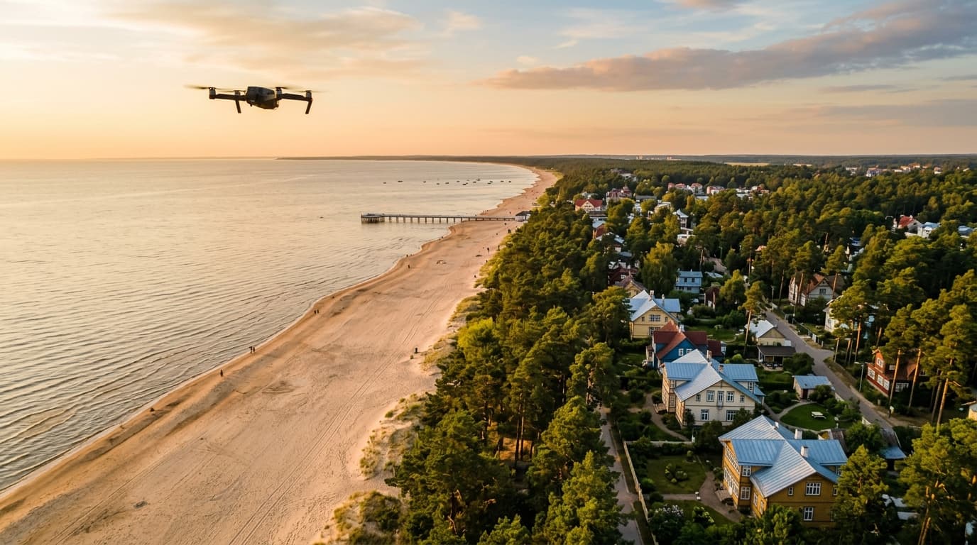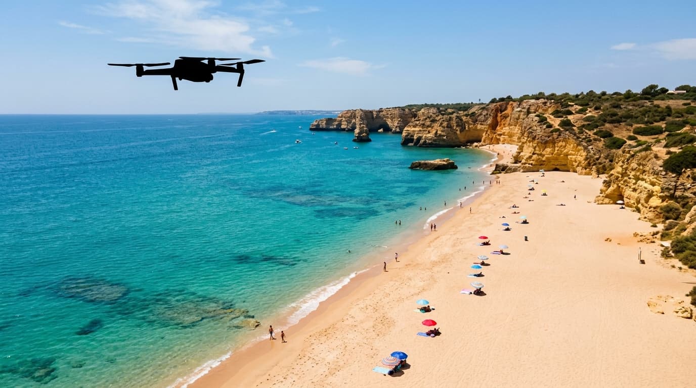
A beach is not a blanket no-drone zone in Latvia. The real answer depends on three things: the airspace above the beach, the density of people below it, and whether the coastline sits inside a protected nature area.
Start with the official map, not the weather app and not a DJI warning screen. Open airspace.lv/drones before the flight. If the beach sits in a UAS geographical zone, the CAA process may require a notification or authorisation request in UASIS before take-off. The CAA also warns that the UASIS map is for submissions; the official situational map is the LGS map.
The second question is people. A quiet stretch of sand with a few walkers is one thing. A packed summer beach is different. Regulation 2019/947 prohibits Open-category flights over an assembly of people, and an assembly is about density, not headcount. If people cannot easily move away from a falling drone, do not fly over them. A sub-250 g drone does not change that rule.
The third layer is nature. Some coastal areas sit inside protected territories or bird-sensitive zones. In those places, aviation permission is not the whole answer; nature-protection rules can add a separate restriction or permit requirement.
For a beach flight that stays realistic:
- choose an empty or low-density part of the beach;
- keep the drone in VLOS and below the 120 m Open-category ceiling;
- avoid overflying people, animals, vehicles and structures as far as possible;
- keep the shortest safe trajectory if you cross third-party property;
- stop if the beach fills up and the flight would become a crowd overflight.
Use the broader where-can-I-fly hub for the full check, run the quick location pre-check, and prepare the rules properly in the A1/A3 course.