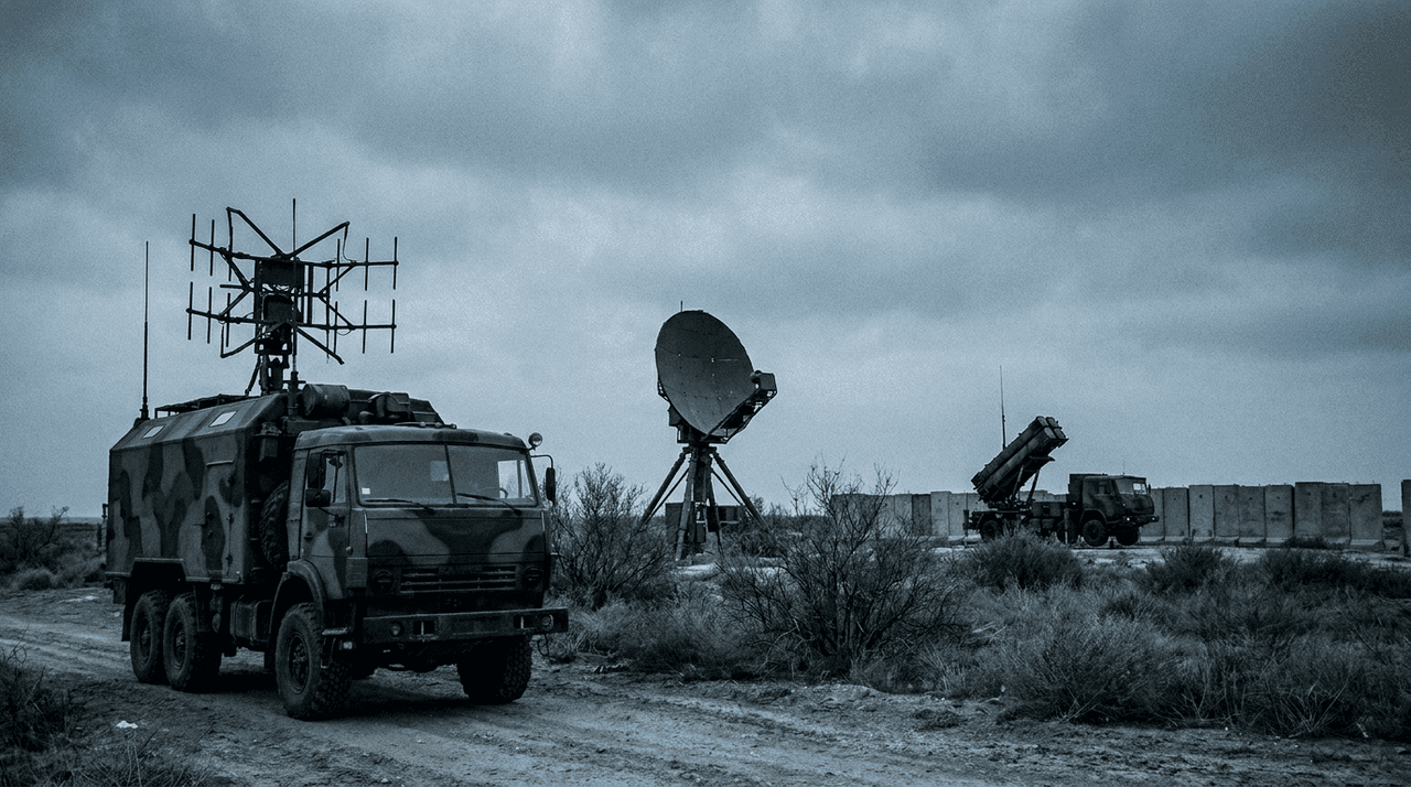
On July 2, 2026, the Russian tech outlet iXBT reported the unveiling of Pole-31 ("pole" is Russian for "field"), a compact electronic-warfare system built by NPO Kilowatt. The claim, as reported: within a radius of at least 2 kilometres, the system suppresses satellite navigation across all four global constellations — GPS, GLONASS, BeiDou and Galileo. Inside that dome, a drone that relies on satellites for positioning has no positioning at all.
One product announcement from a wartime EW industry would not normally deserve an editorial. This one is useful because it puts convenient, concrete numbers on a shift that reaches well beyond any single battlefield: satellite navigation is becoming the part of a drone that designers plan to lose.
What Pole-31 is claimed to do
The reported specification is short:
- Suppression radius: at least 2 km for GNSS reception
- Targets: GPS, GLONASS, BeiDou and Galileo simultaneously
- Role: denying satellite navigation to drones around a protected position
Standard caution applies. These are the manufacturer's own figures relayed by the tech press, not the results of independent testing, and "unveiled" is not the same as "fielded at scale". The maker quotes the radius as a floor — "no less than 2,000 metres" — not a ceiling, and real-world suppression range still depends on the target receiver, its antenna, terrain masking and altitude: a drone at 100 metres sees the jammer very differently from one behind a treeline. Treat 2 km as an unverified design claim, not a measured constant.
None of that changes the analytical picture, because nothing in the claim is exotic. It describes a class of device that plainly exists, on both sides of the front line and in growing numbers.
Jamming GNSS is cheap because the signal is weak
The reason a compact ground transmitter can plausibly blind navigation across four constellations is not clever engineering. It is geometry. GNSS satellites orbit roughly 20,000 kilometres up, and by the time their signals reach a receiver they are extraordinarily faint — below the background noise floor, recoverable only because the receiver knows exactly what pattern to look for. A transmitter standing two kilometres away does not need to out-broadcast a satellite. It needs to out-shout a whisper.
That asymmetry is physics, and it is permanent. No firmware update makes a satellite signal arrive stronger. It is why "jam and drop" became one of the cheapest counter-drone tactics available, and why every serious drone programme now asks the same question early: what does this aircraft do when the satellites go away?
"Suppresses drones at 2 km" — what the headline gets wrong
It is worth being precise about what a GNSS dead zone does and does not defeat, because the gap between the two is exactly where drone design is moving.
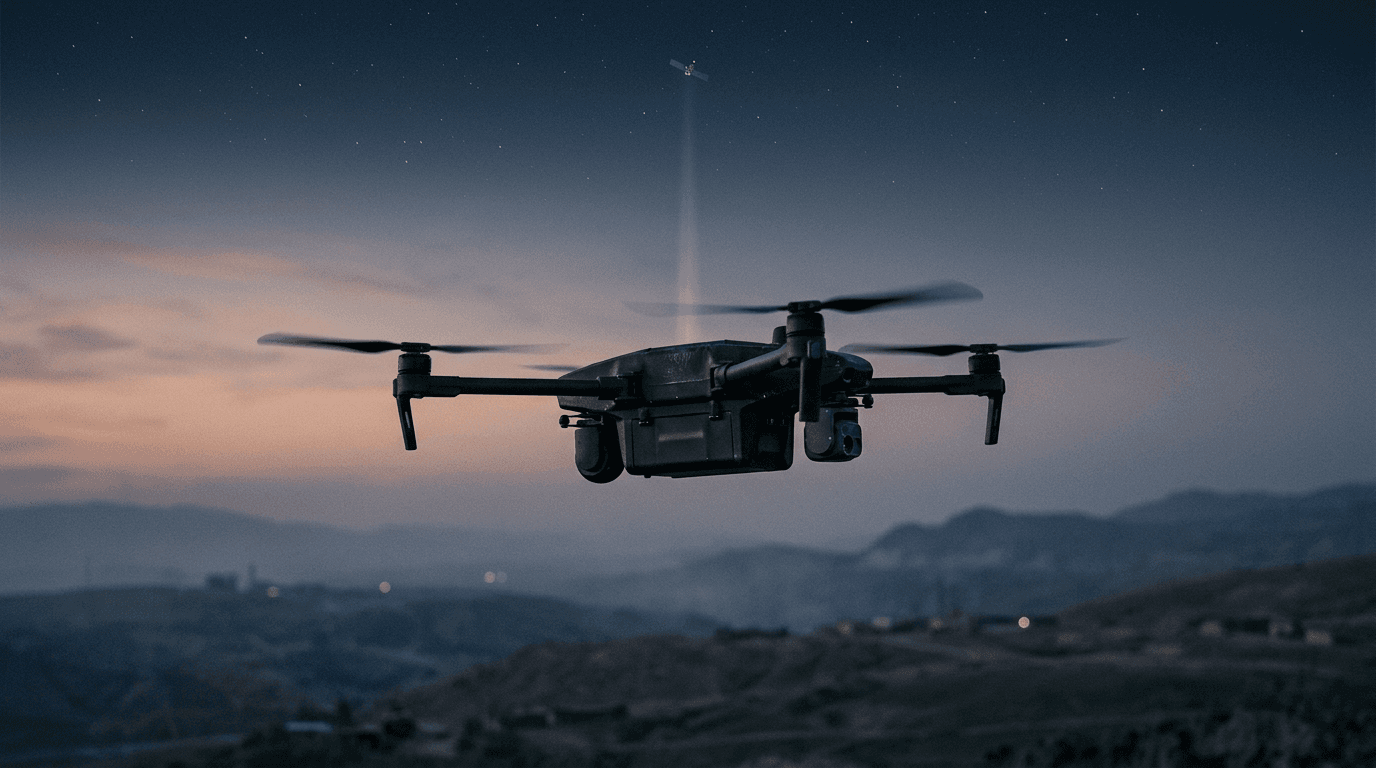
What it defeats: any aircraft whose flight controller treats satellite positioning as the single source of truth. Waypoint missions, return-to-home, position hold, geofencing — all of it degrades or fails the moment the receiver loses lock. For a consumer-grade drone that usually means drifting with the wind in attitude mode, or an uncontrolled descent, depending on the model.
What it does not defeat: a manually flown FPV drone whose pilot navigates by camera does not care whether GPS exists. A fiber-optic drone keeps its control link outside the radio spectrum entirely. And an aircraft that navigates by its own sensors — cameras, optical flow, inertial measurement — flies through the dome as if it were not there.
So "suppresses drones within at least 2 km" really means "suppresses satellite-dependent navigation within at least 2 km". That distinction — what gets suppressed, not how far the dome reaches — carries the whole story.
The navigation stack that grows in GNSS's place
Under jamming pressure, drone navigation is being rebuilt around three layers that need no signal from space.
Optical flow
A downward-facing camera tracks how ground texture moves through its field of view, which yields velocity over terrain. It is cheap and light — consumer drones have used it for indoor hover for a decade — but it measures movement rather than position, it accumulates error, and it needs texture and light to work at all.
Machine vision and V-SLAM
Visual SLAM builds a map of landmarks from camera input and locates the aircraft inside it; terrain-matching approaches compare what the camera sees against stored imagery. This gives real position rather than velocity, at the cost of onboard compute, and it degrades in darkness, fog and featureless landscapes — over water or fresh snow there is little for the algorithm to hold on to.
Inertial navigation
Accelerometers and gyroscopes dead-reckon the aircraft's position from its own motion. An IMU cannot be jammed from outside, but its error grows with every minute of flight; the affordable MEMS units in small drones drift far too fast to be trusted alone.
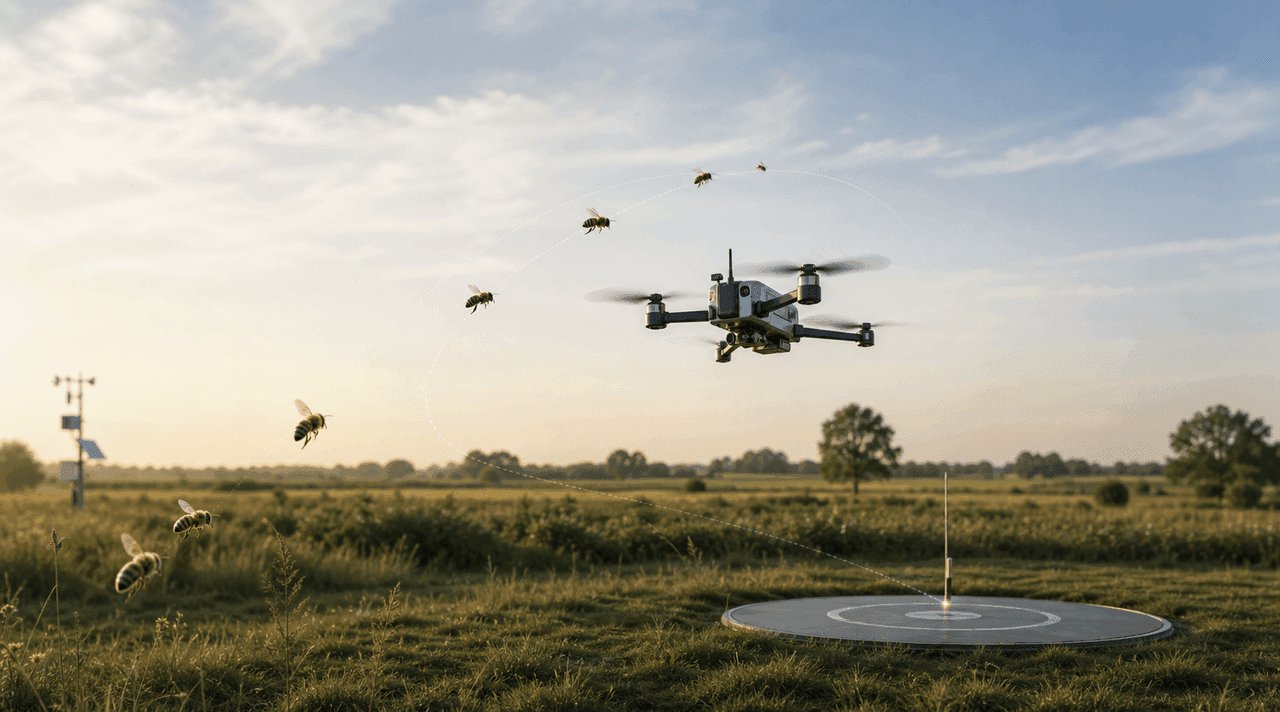
No single layer replaces a satellite fix. The practical answer is fusion — inertial sensing corrected by vision, with GNSS demoted from backbone to one input among several: used when available, distrusted by default. Research keeps pushing the same direction; TU Delft's bee-inspired homing work, which we covered in how drones find their way home without GPS, returns a drone to base on optical flow and a few kilobytes of visual memory.
The same adaptation logic already played out one layer down. When jamming made radio control links unreliable, the answer was to leave the spectrum entirely — that is the fiber-optic story. Now the navigation layer is following, and the counter-UAS side has to respond in turn; we mapped that contest in anti-drone systems and electronic warfare.
What this means for a civilian pilot in the Baltics
You will not meet a Pole-31 on a weekend flight. You may well meet GNSS interference: it has been a recurring feature of the Baltic region's radio environment in recent years, reported by airline crews, ships and drone pilots alike, and it does not check whether your flight is recreational.
The practical checklist follows from the technology above:
- Know your aircraft's GNSS-loss behaviour before it happens. Some drones switch to attitude mode and drift with the wind; some hold position on optical flow if the surface allows; some attempt to land. The manual states which — few pilots read that page.
- Treat return-to-home as an aid, not a guarantee. RTH is a satellite-dependent function. When positioning is being interfered with, the feature you rely on most is the first one to go.
- Keep visual line of sight and be ready to fly manually. VLOS is the legal baseline of the open category anyway — a positioning failure is where it stops being a formality and becomes the thing that saves your aircraft.
None of this is exotic knowledge. Degraded navigation and manual recovery are exactly the kind of scenario the A1/A3 syllabus expects a pilot to reason through — the certification guide covers the path, and the practice sets include the navigation and procedure questions this article keeps circling.
What matters now
Pole-31 itself is a data point with manufacturer-supplied numbers. The trend it marks is measured differently — in how drones are now designed. Satellite navigation spent two decades as the backbone of automated flight; it is ending this decade as a convenience layer that serious aircraft assume will be missing. The bet worth making is not on any particular jammer's radius. It is that autonomy — optical flow, machine vision, inertial fusion — stops being a premium feature and becomes the baseline, and that flying competently without a satellite fix becomes part of what it means to be a trained pilot.
FAQ
What is Pole-31? An electronic-warfare system presented by the Russian manufacturer NPO Kilowatt in July 2026. According to the manufacturer's figures reported by iXBT, it suppresses GPS, GLONASS, BeiDou and Galileo reception within a radius of at least 2 km. The specifications have not been independently verified.
Can a jammer like this bring down any drone? No. It denies satellite navigation. Aircraft that navigate visually or inertially, manually flown FPV drones and fiber-optic-controlled drones are not stopped by GNSS suppression — which is precisely why drone autonomy is advancing so quickly.
Does GPS jamming affect civilian drones? Yes. Interference does not distinguish between military and recreational receivers. GNSS disruption has been reported regularly in the Baltic region in recent years, so civilian pilots should know how their aircraft behaves when positioning degrades.
What should a drone pilot do if GNSS is lost mid-flight? Keep visual contact and switch to manual control if the aircraft starts to drift. Do not count on return-to-home — it depends on the positioning that was just lost. Knowing the aircraft's documented GNSS-loss behaviour in advance is the single best preparation.