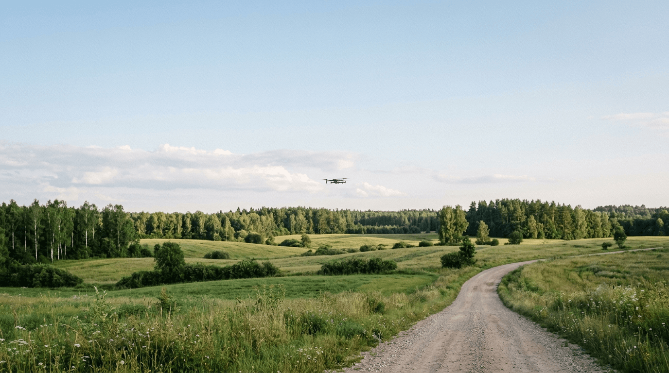
Since 18:00 on 11 September 2025, Latvia has enforced a night-time airspace closure across a 50 km belt along its eastern border with Russia and Belarus. The belt reaches up to 6000 m altitude and covers the Latgale region — Daugavpils, Rēzekne, Ludza, Krāslava, and the districts between them.
The closure is a recurring restriction. Its exact hours and end-dates have been extended and revised multiple times since it first came into force. If you are working from a time window you read months ago, there is a good chance it no longer reflects the current rule. The live picture is at airspace.lv/drones and in the active NOTAM — not in this article.
This is our practical reading of how to fly legally within or near the belt during daytime. It is not an official SOP; it is plain-language guidance based on published CAA Latvia rules.
What the belt is and why it matters for daytime pilots
The 50 km eastern belt is a geographically defined UAS restriction zone along the Russian and Belarusian borders. The night-time closure is a security measure. But the important distinction for civil pilots: the night-time restriction does not automatically mean daytime is unrestricted.
Parts of the belt carry their own zone type — restrictive-authorization, conditional, or prohibited — independently of the night NOTAM. A NOTAM lifting the overnight closure does not clear you to fly. You still need to verify the zone type and status for your exact location and planned flight time.
How Latvian UAS geographical zones work
Latvia uses a structured system of zone types, each with a different access rule:
- Informative — no specific permission needed beyond base rules.
- Restrictive-notification — fly after filing a notification.
- Restrictive-authorization (REQ_AUTHORISATION) — you must coordinate with the zone manager and receive authorization before flying. This is the key category inside the border belt.
- Conditional — access depends on conditions defined in the zone description.
- Prohibited — flights forbidden; exceptions are handled case by case.
A zone authorization only covers that zone's specific restriction. It does not waive the standard operating limits that apply everywhere: 120 m maximum altitude, VLOS, registered operator, marked aircraft.
One additional point: if your planned site sits inside the belt AND inside another restricted zone — a nature reserve, a military area — each layer may require its own separate clearance.
Legal daytime flight: step by step
This is our practical reading of the process, not an official procedure.
Step 1: Check airspace.lv/drones before every flight.
Open the drone zone map and locate your exact intended site. Read the zone type and any active NOTAM or temporary restriction for that date and time. The map reflects the live picture; no static document does.
Step 2: Determine whether you need authorization.
If the zone is marked REQ_AUTHORISATION, you cannot fly without coordinating with the zone manager first. If the zone is currently prohibited, you do not fly — regardless of the time of day.
Step 3: Submit a BGKIS request if authorization is required.
Since 1 January 2025, operators must register a flight request in BGKIS — the Latvian Unmanned Aircraft Information System — before flying in any UAS geographical zone that requires it. BGKIS is accessed through the CAA Latvia e-services portal at e.caa.gov.lv. Submit the request before the planned flight and leave enough time for review. The zone manager records the decision; you may not fly until that decision is positive.
Step 4: Respect the base limits throughout.
Authorization covers the zone-specific restriction only. The following still apply everywhere: altitude at or below 120 m, VLOS, operator registration, aircraft marking. A zone clearance does not expand these limits.
Step 5: Keep evidence.
Screenshot the zone status before you fly. Log the time, coordinates, and BGKIS request reference. Violations of UAS geographical zone rules can result in fines up to €2000 for legal entities — a timestamped record is straightforward protection if your flight is ever reviewed.
What the NOTAM covers — and what it does not
The night-time closure is defined by its NOTAM, specifying active hours and an expiry date. Both have changed multiple times since September 2025. Do not treat any previously published time window as current — the only reliable answer is the live NOTAM on airspace.lv.
For daytime flights, the underlying zone type matters more than the NOTAM hours. The question is not only "is the NOTAM active?" but also "what type of zone is this, and what does it require of me?"
What to expect going forward
As of May 2026, Latvia is actively reinforcing counter-drone capabilities along the eastern border. Regulatory adjustments in high-security border areas follow operational needs, not calendar schedules. For pilots based in or regularly operating in Latgale, the practical answer is a standing pre-flight routine: airspace.lv check, NOTAM check, BGKIS coordination if required — every session.
The 50 km belt does not prohibit civil daytime drone operations outright. It adds a mandatory authorization step where required, alongside a night closure whose parameters can change. The legal path is specific: check first, coordinate if required, confirm the decision, then fly within standard limits.
If you fly in Latgale without checking airspace.lv first, you are not applying the rules; you are relying on an assumption that may already be outdated.
The Airspace Limitations — Geozones lesson covers UAS geographical zone types, authorization categories, and the BGKIS coordination process in detail. You can test your understanding in the Airspace Limitations practice set.