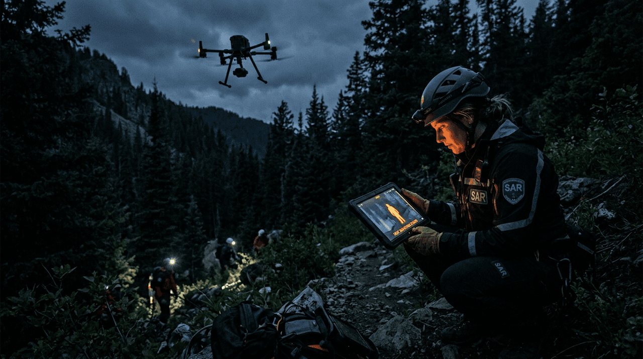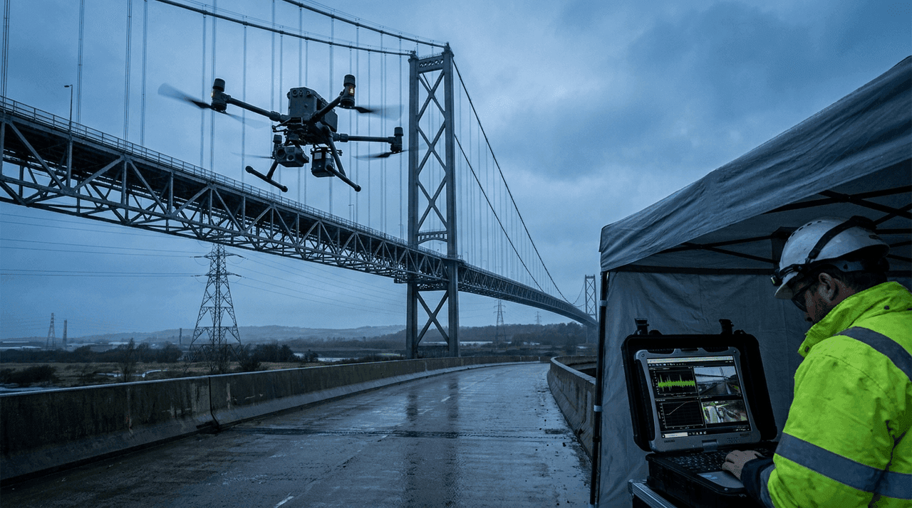
Industrial drone inspection changed because the market stopped treating drones as camera platforms and started treating them as data systems. That's the real shift in 2025–2026. Infrastructure operators now care less about whether a drone can reach an asset and much more about whether it can collect repeatable data, fit into maintenance workflows, cut downtime, and support decisions without sending people into risky places.
That difference matters. A single manual flight around a flare stack, bridge, transmission tower, substation, roof, or tank isn't a monitoring program yet. A monitoring program needs repeatability, traceable imagery, good thermal and visual context, practical reporting, and increasingly some form of remote or dock-based operation. It also needs the right drone for the inspection geometry. A platform built for confined spaces isn't the same as one built for long corridor work, and neither is the same as a docked aircraft designed to inspect remote infrastructure on schedule.
In 2026, that split is much clearer. DJI's Matrice 4E pushes compact enterprise inspection toward faster, more repeatable visual data. DJI Dock 3 moves the conversation toward remote routine operations with the Matrice 4D and 4TD aircraft. Skydio X10 leans on autonomy, obstacle awareness, and remote inspection workflows. Flyability's Elios 3 is still the reference case for confined-space inspection because it solves a completely different problem: flying where conventional exterior inspection drones shouldn't go.
Industrial drone inspection is now about repeatable data, not aerial novelty
The first wave of commercial drone adoption was about access. That made sense. If a drone could replace rope access for a visual check, cut the need for scaffolding, or let a utility inspect a tower without climbing right away, the value was obvious.
The second wave is stricter. Buyers now ask harder questions:
- Can the inspection be repeated from similar angles and distances?
- Can the imagery support engineering decisions, not just awareness?
- Does the system cut downtime or just create more media to review?
- Can one operator cover more assets per shift?
- Can the data fit into an existing maintenance or asset-management workflow?
That's why the phrase industrial drone inspection now covers much more than flight. It covers mission planning, sensor choice, autonomy, reporting, remote operations, and the economics of inspection intervals.
Different inspection missions need different drone classes
A useful buying guide starts by separating the mission types.
| Mission type | Best-fit drone class | Why |
|---|---|---|
| Exterior building and roof inspection | Compact enterprise drone | Fast deployment, visual and thermal context, repeatable image capture |
| Utility, telecom, and corridor inspection | Autonomy-heavy enterprise drone | Obstacle awareness, repeatable route logic, remote operations potential |
| Remote fixed-site monitoring | Docked drone system | Scheduled launches, persistent site coverage, less travel time |
| Tank, boiler, silo, sewer, tunnel, and confined-space inspection | Collision-tolerant indoor drone | GPS-denied operation, close-proximity work, 3D mapping inside assets |
| Plant-wide mixed inspection programs | Multi-platform fleet | No single drone handles all geometry efficiently |
This is the buying point many teams miss. They ask for one "best inspection drone" and then try to stretch that platform across rooftops, substations, corridor patrol, and confined spaces. The result is usually higher cost and weaker data.
DJI Matrice 4E is built for fast, repeatable exterior inspection work
The Matrice 4E is one of the clearest signals that infrastructure inspection is moving toward structured, repeatable data capture rather than one-off aerial imaging.
On official specs, the Matrice 4E combines:
- a 4/3 CMOS 20 MP wide camera
- mechanical shutter support on the wide camera
- 0.5-second minimum photo interval
- medium tele and tele cameras with 48 MP sensors
- 49-minute maximum flight time for the platform family
- laser rangefinder functionality in the Matrice 4 series stack
- O4 Enterprise transmission
For inspection teams, the important part isn't the headline resolution. It's the package logic. The 4/3 wide camera and mechanical shutter suit mapping, facade capture, asset documentation, and repeatable condition monitoring better than consumer-style capture. The tele stack matters because exterior inspection often depends on staying off the asset while still collecting enough detail to assess corrosion, connection points, rooftop damage, vegetation, or structural anomalies.
So the Matrice 4E makes sense for teams doing:
- facade and roof inspection
- telecom and utility structure review
- solar and industrial site documentation
- mapping-linked inspection programs
- recurring visual condition surveys
It isn't the answer to every inspection job, but it's a strong answer to a very common problem: needing more consistent exterior data without moving up to a much larger aircraft.
DJI Dock 3 shows that routine inspection is becoming a remote operations problem
One of the biggest shifts in infrastructure monitoring isn't the aircraft itself. It's the dock.
DJI's official Dock 3 announcement frames the product as the company's first drone-in-a-box solution supporting vehicle mounting and 24/7 remote operations, aimed directly at public safety, emergency response, and infrastructure inspection. That's an important market statement. It means DJI isn't only selling a flight platform; it's selling an operating model.
That operating-model shift matters because many infrastructure owners lose time and money on travel, scheduling, and delayed inspection cycles rather than on the flight itself. A docked drone changes that equation.
A dock-based inspection program can help with:
- scheduled perimeter and site checks
- rapid post-storm assessments
- recurring thermal or visual sweeps of fixed assets
- less travel time for routine inspections
- better inspection frequency on remote sites
It isn't a universal replacement for field crews. It's a way to make certain low-complexity inspections happen more often and with less overhead.
The practical limit matters just as much. Dock systems only work where the site, regulation, connectivity, and procedures support them. But where they fit, they turn drone inspection from an occasional field task into a persistent monitoring capability.
Skydio X10 reflects the autonomy turn in infrastructure inspection
Skydio's X10 matters less because of one sensor and more because of the operating logic around the aircraft.
Official specs highlight:
- startup time under 40 seconds
- up to 40 minutes of flight time
- IP55 protection
- true 360° obstacle avoidance coverage
- NVIDIA Jetson Orin and Qualcomm compute stack
- thermal and visible sensor packages depending on configuration
- unlimited remote range where 5G coverage is available
For infrastructure operators, that package speaks directly to a real problem: inspections are often repetitive, geometry-constrained, and safety-sensitive. Bridges, substations, solar fields, power lines, telecom assets, and industrial yards aren't random environments. They're exactly the places where autonomy, repeatable routes, and obstacle awareness create operational value.
That doesn't mean the drone is autonomous in the science-fiction sense. It means the platform is designed to reduce pilot workload, keep routes consistent, and support inspection workflows that scale. Paired with Dock for X10, Skydio is clearly aiming at the remote-inspection and patrol model rather than just hand-flown missions.
Flyability Elios 3 remains the reference platform for confined-space inspection
Most infrastructure drone articles flatten the market by focusing only on exterior inspection. That misses one of the most valuable use cases in the industry.
Confined-space inspection is a completely different category. Tanks, boilers, silos, sewers, ducts, culverts, penstocks, mines, and enclosed process environments aren't just "hard to reach." They're often spaces where putting people inside is slow, expensive, or dangerous.
Flyability's Elios 3 stays important because it was built specifically for that geometry. Flyability describes it as the world's first collision-tolerant drone with a LiDAR sensor for indoor 3D mapping, powered by the company's FlyAware SLAM engine. The launch material also stresses real-time 3D model creation, modular payloads, and same-day pilot onboarding for first inspections.
So Elios 3 isn't competing directly with the Matrice 4E or Skydio X10. It solves another class of problem:
- indoor and GPS-denied inspection
- close-proximity inspection in tight assets
- LiDAR-backed confined-space mapping
- safer defect review where scaffolding or rope access would otherwise be needed
- faster internal inspection with less plant disruption
For industrial programs, this distinction matters financially. A drone that avoids a longer shutdown or reduces confined-space entry can justify itself in a very different way from a roof-inspection platform.
Thermal drones matter in inspection, but thermal isn't the whole story
Thermal drones are often sold too simply. They're valuable, but the value depends on the asset.
Thermal context can be very useful for:
- solar inspection
- roof moisture and envelope assessment
- electrical hotspot review
- district heating and utility diagnostics
- process anomalies that show up as temperature contrast
But many infrastructure inspections still depend more on optical detail, zoom reach, stable geometry, and comparison over time than on thermal imagery alone. A utility inspector may need a radiometric thermal layer for one task and a clean telephoto image for another. A building owner may need roof moisture clues one day and facade crack documentation the next.
That's why the future of infrastructure monitoring drones isn't one universal payload. It's a better sensor fit, cleaner repeatability, and software that makes cross-mission data easier to use.
The strongest ROI usually comes from frequency and less downtime
Drone marketing often overstates labor savings and understates the real source of value. In infrastructure monitoring, the strongest business case usually comes from two things:
- more frequent inspection
- less downtime or less intrusive access planning
A drone program becomes economically compelling when it lets the owner:
- inspect before small defects become expensive failures
- cut unnecessary shutdowns
- avoid sending crews into hazardous access too early
- document asset condition more consistently over time
- prioritize only the maintenance work that actually needs doing
This is why docked systems are getting so much attention. If a remote site can be checked more often without sending a vehicle and field crew every time, the economics shift. The same logic explains why confined-space drones create value even when the aircraft itself is expensive. Avoided scaffolding, avoided entry prep, and avoided downtime often dominate the cost equation.
The future of infrastructure monitoring is fleet logic, not one aircraft
The most mature operators in 2026 aren't asking which single drone wins. They're building fleet logic.
A realistic fleet might look like this:
- compact exterior inspection drone for routine field deployment
- docked drone for recurring fixed-site monitoring
- confined-space drone for internal asset inspection
- thermal-capable system for energy and diagnostics work
That's a better mental model than the search for a one-size-fits-all aircraft. Infrastructure assets vary too much in geometry, access, and inspection cadence for one platform to dominate everything.
The next phase is software discipline and mature remote operations
The hardware story is already strong enough for many use cases. The next differentiator is software discipline.
The better industrial drone inspection programs increasingly depend on:
- route repeatability
- inspection checklists tied to asset classes
- cloud or local workflows for review and comparison
- asset-linked reporting
- governance for remote operations
- a clean path from drone finding to maintenance decision
This is why the market is shifting from "can drones inspect this?" to "can the inspection program scale without drowning in manual review?"
That's also why dock platforms, autonomy-heavy systems, and inspection-specific software matter so much. The future of industrial drone inspection services isn't just better footage. It's faster, cleaner conversion from captured data into action.
Common mistakes in inspection-drone buying
Buying for cinematic image quality instead of inspection workflow
Inspection teams need traceable data and useful angles, not just attractive footage.
Ignoring asset geometry
An excellent exterior drone may be useless inside a tank or culvert. A confined-space drone may be the wrong tool for a utility corridor.
Underestimating repeatability
One beautiful inspection flight isn't a monitoring program. If the route, angle, altitude, and reporting can't be repeated, the data loses long-term value.
Forgetting the maintenance workflow
If engineers and maintenance teams can't use the output easily, the drone program will generate media, not decisions.
The inspection winner is often the program with the best governance, not the best aircraft
Industrial drone inspection programs often stall for reasons that have little to do with flight performance. The aircraft can work perfectly and the program can still underperform if the operator has weak governance around data, repeatability, and decision ownership.
Mature programs usually define:
- what evidence each asset class requires
- how routes are repeated over time
- who signs off on usable inspection output
- how anomalies are escalated to maintenance or engineering
- how drone findings are filed against the asset history
This matters because infrastructure monitoring only creates value when captured data turns into action. A facility that generates piles of aerial files without a clear route into maintenance decisions has built a flying-camera workflow, not an inspection system.
Different sectors inside infrastructure need different drone logic
The phrase "infrastructure monitoring" covers too much ground to be useful on its own. Bridges, substations, telecom towers, solar fields, roofs, and confined industrial assets don't fail the same way and shouldn't be inspected with the same assumptions.
Sector-specific programs increasingly optimize around different questions:
- utilities care about reach, stand-off detail, and corridor repeatability
- buildings care about facade geometry, roof evidence, and thermal context
- industrial plants care about active operations, avoiding shutdowns, and access risk
- confined-space operators care about collision tolerance, mapping, and fewer entries
That's one reason the market is moving toward inspection stacks rather than miracle platforms. The future isn't the drone that does everything. It's the program that picks the right aircraft class for the right inspection geometry.
Remote inspection only works when the operating model is mature
A dock or remote-flight capability can look transformative on paper and still disappoint in practice if the operating model around it is weak.
Successful remote inspection programs usually depend on:
- clearly bounded recurring missions
- reliable connectivity and site procedures
- predictable weather and access assumptions
- staff who know when the drone result is enough and when field verification has to follow
This matters because remote operations don't remove operational discipline. They make it more necessary.
Inspection cadence is becoming a strategic variable
One of the less obvious changes in infrastructure monitoring is that drone programs let operators rethink inspection cadence itself. When inspections become safer and easier to launch, the question shifts from "can we inspect this asset?" to "how often should we inspect it to catch change earlier?"
That shift matters strategically because frequency often creates more value than one perfect inspection.
FAQ
What is industrial drone inspection?
It's the use of drones to inspect buildings, utilities, industrial plants, energy assets, roofs, bridges, confined spaces, and other infrastructure with visual, thermal, mapping, or LiDAR data.
What is the biggest trend in infrastructure monitoring in 2026?
The shift toward repeatable remote operations. Dock systems, autonomy features, and asset-linked workflows are becoming more important than ad hoc flights.
Which drone is best for infrastructure inspection?
There's no single best drone for every case. The Matrice 4E is strong for compact exterior inspection, Skydio X10 is strong where autonomy and obstacle awareness matter, Dock 3 suits remote recurring operations, and Elios 3 leads confined-space inspection.
Are thermal drones necessary for industrial inspection?
Not always. Thermal is valuable for some assets and tasks, but many inspection programs still depend mainly on optical detail, zoom, and repeatable geometry.
Why are docked drones important for infrastructure owners?
Because they can increase inspection frequency and cut travel overhead for routine checks on fixed sites.
Conclusion
Industrial drone inspection is becoming a serious infrastructure-monitoring discipline rather than a specialty flight service. The market leaders in 2026 reflect that shift from different angles. The Matrice 4E improves compact, repeatable exterior capture. Dock 3 pushes inspections toward remote routine operations. Skydio X10 turns autonomy and obstacle awareness into inspection value. Elios 3 remains the specialist answer for confined spaces where conventional drones don't belong.
The future of infrastructure monitoring, then, isn't one miracle platform. It's a better operating model: more frequent inspections, safer access, cleaner data, and faster decisions about which assets actually need attention.