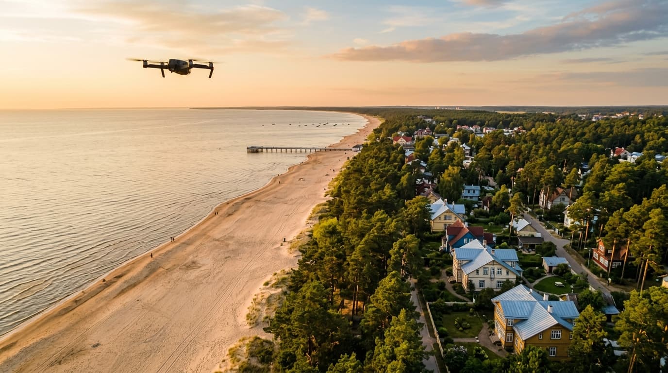
Jūrmala is a good example of why drone rules should be checked by location, not by city name. The same municipality contains quiet streets, busy beaches, hotels, private property, coastal nature and airspace that may be covered by UAS geographical zones.
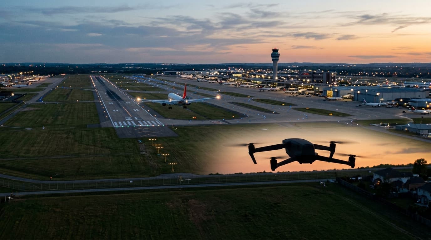
Start with airspace.lv/drones. CAA Latvia treats that LGS map as the official visualisation for UAS geographical zones. If your take-off point or flight path falls inside a zone, the flight may need a notification or authorisation request in UASIS before take-off.
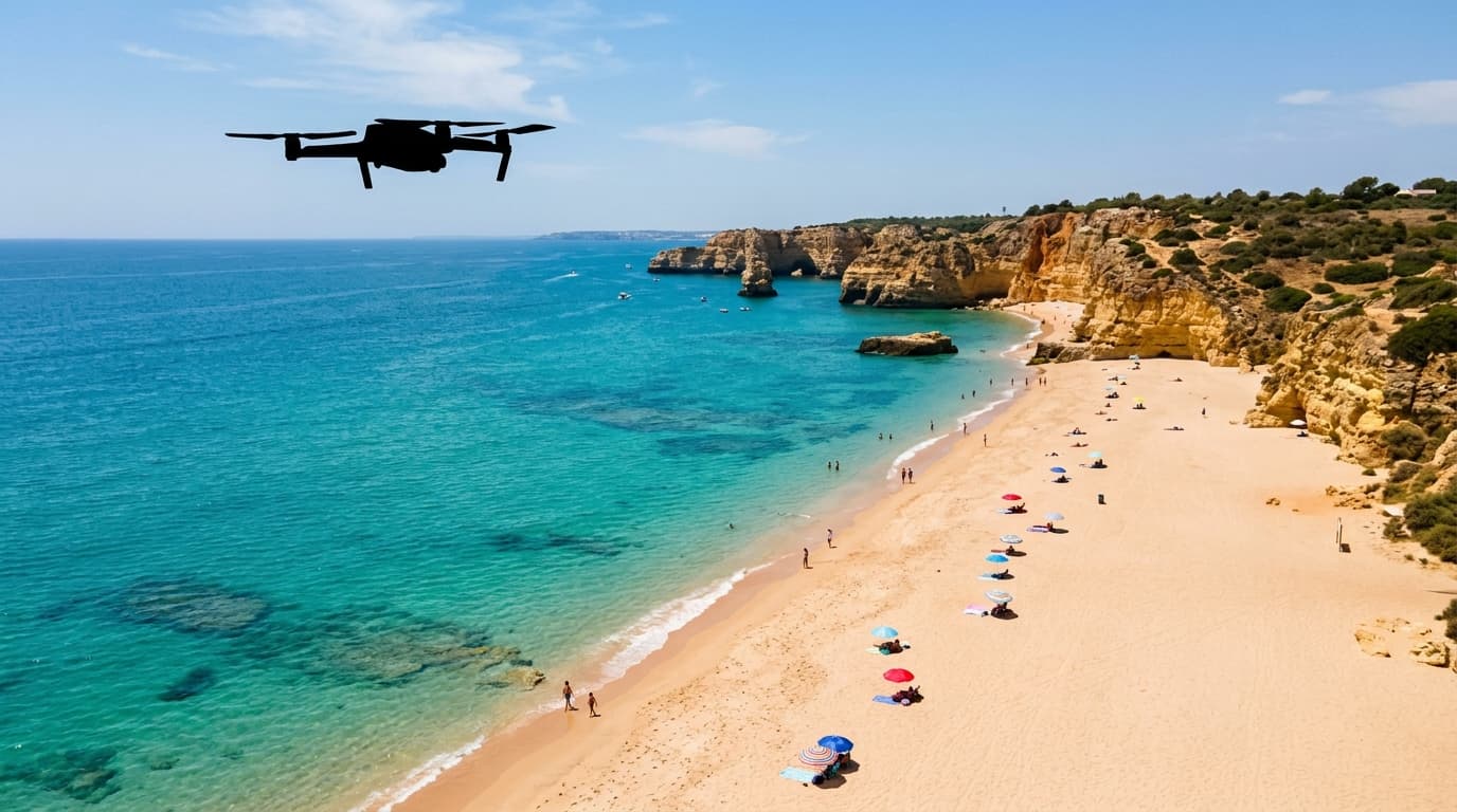
Then look at the ground risk. In summer, a Jūrmala beach can quickly become an assembly of people. Open-category drones may not fly over assemblies of people, and a sub-250 g drone does not remove that limit. Pick a low-density area, keep lateral distance, and abandon the shot if people gather under the route.
Private villas, hotel terraces and people on the beach also raise privacy risk. Aviation rules may allow a flight, but recording identifiable people or repeatedly filming private property can still be a bad, and sometimes unlawful, plan.
For Jūrmala, use this checklist:
- check the exact spot on the official map;
- file in UASIS if the zone conditions require it;
- keep VLOS and stay within the 120 m Open-category ceiling;
- avoid overflying people, animals, vehicles, buildings and engineering structures where possible;
- avoid long tracks over third-party property;
- check nature restrictions if you fly near protected coastal or park areas.
For the broader Latvia method, use the where-can-I-fly hub. If you just need a quick pre-check, open can I fly here. If the rules still feel fuzzy, start with the A1/A3 course.